
Seat Kokstad Time zone SAST (UTC+2) Area 2,680 km² Black african population 87.1% Native english speakers 8.8% | Wards 8 Municipal code KZN433 White population 3.3% Native afrikaans speakers 6.9% Native xhosa speakers 70.5% | |
 | ||
District | ||
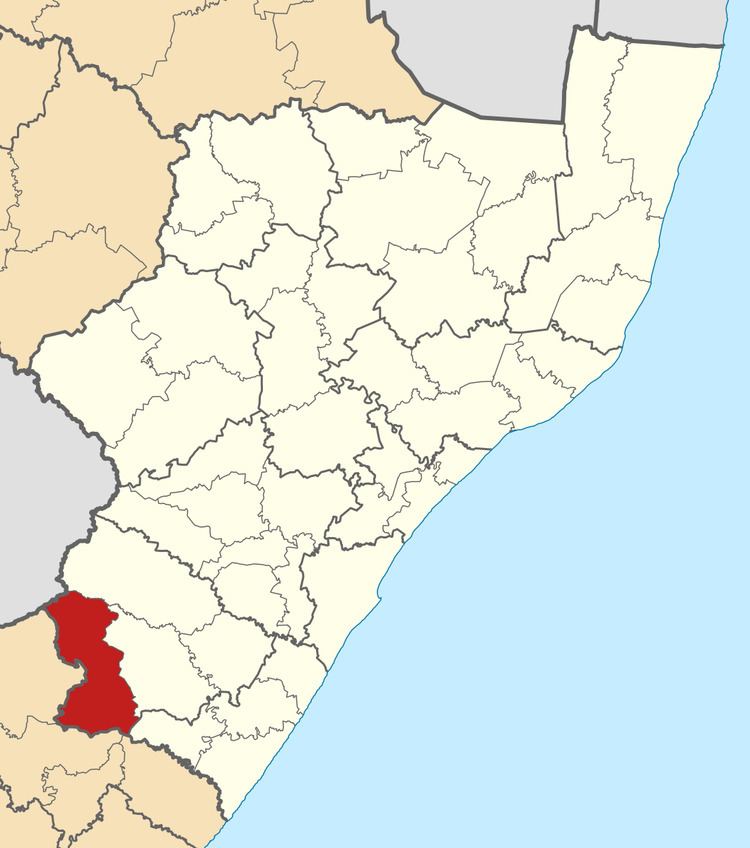
Greater Kokstad Local Municipality is an administrative area in the Sisonke District of KwaZulu-Natal in South Africa. Kokstad is derived from Dutch, and it means "town of Kok". It was named after Adam Kok III.
Contents
Map of Kokstad, South Africa
Kokstad serves as the service centre and commercial hub for most of East Griqualand and nearby parts of the Eastern Cape it borders with.
Main places
The 2001 census divided the municipality into the following main places:
Politics
The municipal council consists of nineteen members elected by mixed-member proportional representation. Ten councillors are elected by first-past-the-post voting in ten wards, while the remaining nine are chosen from party lists so that the total number of party representatives is proportional to the number of votes received. In the election of 3 August 2016 the African National Congress (ANC) won a majority of thirteen seats on the council. The following table shows the results of the election.