
OS grid reference TQ584907 Post town BRENTWOOD Dialling code 01277 | Sovereign state United Kingdom Local time Thursday 1:20 PM District Borough of Brentwood | |
 | ||
Population 5,973 (Warley Ward 2011) Weather 16°C, Wind W at 23 km/h, 50% Humidity | ||
Great Warley is a village in the Warley ward of Brentwood borough in Essex, England. It is situated to the far south west of the county and near to the Greater London boundary and the M25 motorway.
Contents
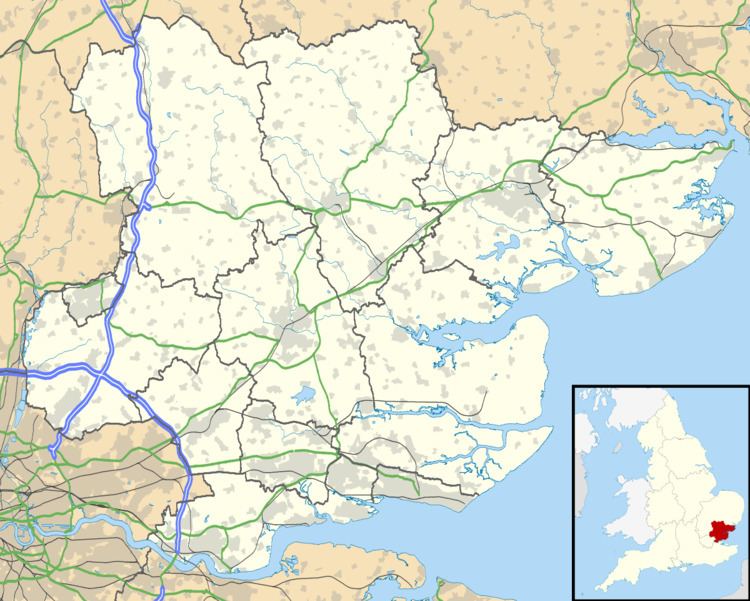
Map of Great Warley, UK
Consecrated in 1904, the Grade I listed parish church, St Mary the Virgin is noted for its art nouveau interior.
History
From 1894 the Great Warley parish formed part of Romford Rural District and covered an area of 2,793 acres (11.30 km2). In 1901 it had a population of 1,900. Great Warley Parish Council was the parish council from 1894 to 1934.
The parish was split in 1934 with 910 acres (3.7 km2) of its former area transferred to the Brentwood parish in Brentwood Urban District. The remaining area was transferred to Hornchurch Urban District which in 1965 was transferred to Greater London to form part of the London Borough of Havering.
In 1993, following the first periodic review of Greater london, the boundary between Brentwood and Havering was locally realigned to the M25 motorway in the west and the London, Tilbury and Southend Railway in the south by the Essex and Greater London (County and London Borough Boundaries) (No.2) Order 1993. This transferred almost all of the remaining part of Great Warley in Greater London back to Essex.