
Country United States FIPS code 19-32565 Elevation 416 m Zip code 50110 Local time Thursday 12:05 AM | Time zone Central (CST) (UTC-6) GNIS feature ID 0457084 Area 2.59 km² Population 60 (2013) Area code 712 | |
 | ||
Weather -1°C, Wind NE at 11 km/h, 63% Humidity | ||
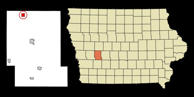
Gray is a city in Audubon County, Iowa, United States, along the East Branch of the West Nishnabotna River. The population was 63 at the 2010 census.
Contents
Map of Gray, IA 50025, USA
History
Gray was laid out in 1881 by George Gray, and named for him. The Northwestern railroad was extended to the town in 1882.
Geography
Gray is located at 41°50′24″N 94°58′57″W (41.840074, -94.982547).
According to the United States Census Bureau, the city has a total area of 1.00 square mile (2.59 km2), all of it land.
2010 census
As of the census of 2010, there were 63 people, 28 households, and 15 families residing in the city. The population density was 63.0 inhabitants per square mile (24.3/km2). There were 36 housing units at an average density of 36.0 per square mile (13.9/km2). The racial makeup of the city was 98.4% White and 1.6% from two or more races.
There were 28 households of which 21.4% had children under the age of 18 living with them, 42.9% were married couples living together, 3.6% had a female householder with no husband present, 7.1% had a male householder with no wife present, and 46.4% were non-families. 39.3% of all households were made up of individuals and 14.3% had someone living alone who was 65 years of age or older. The average household size was 2.25 and the average family size was 2.87.
The median age in the city was 41.3 years. 20.6% of residents were under the age of 18; 17.4% were between the ages of 18 and 24; 17.5% were from 25 to 44; 22.2% were from 45 to 64; and 22.2% were 65 years of age or older. The gender makeup of the city was 46.0% male and 54.0% female.
2000 census
As of the census of 2000, there were 82 people, 34 households, and 24 families residing in the city. The population density was 81.9 people per square mile (31.7/km²). There were 43 housing units at an average density of 43.0 per square mile (16.6/km²). The racial makeup of the city was 100.00% White.
There were 34 households out of which 23.5% had children under the age of 18 living with them, 64.7% were married couples living together, 8.8% had a female householder with no husband present, and 26.5% were non-families. 26.5% of all households were made up of individuals and 8.8% had someone living alone who was 65 years of age or older. The average household size was 2.41 and the average family size was 2.92.
In the city, the population was spread out with 25.6% under the age of 18, 6.1% from 18 to 24, 18.3% from 25 to 44, 25.6% from 45 to 64, and 24.4% who were 65 years of age or older. The median age was 45 years. For every 100 females there were 95.2 males. For every 100 females age 18 and over, there were 79.4 males.
The median income for a household in the city was $35,750, and the median income for a family was $48,750. Males had a median income of $26,875 versus $23,333 for females. The per capita income for the city was $18,190. There were no families and 2.4% of the population living below the poverty line, including no under eighteens and 9.1% of those over 64.