
Topo map USGS Arlington Prominence 667 m | Elevation 948 m Mountain range Taconic Mountains | |
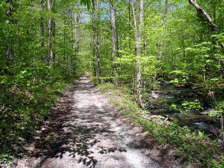 | ||
Listing #30 New England Fifty Finest Easiest route unmaintained hiking trail Similar Dorset Mountain, Mount Aeolus, Glastenbury Mountain, Equinox Mountain, Haystack Mountain | ||
Grass Mountain is a mountain located in Bennington County, Vermont. Grass Mountain is flanked to the north by Big Spruce Mountain, and to the southeast by Spruce Mountain.
Map of Grass Mountain, Arlington, VT 05250, USA
Grass Mountain stands within the watershed of the Hudson River, which drains into New York Bay. The north side of Grass Mountain drains into Batten Kill, thence into the Hudson River. The east side of Grass Mountain drains into Dry Brook, thence into Batten Kill. The south side of Grass Mountain drains into Little White Creek, thence into the Walloomsac River, the Hoosic River, and the Hudson. The west side drains into White Creek, thence into Owl Kill, the Hoosic River, and the Hudson.
References
Grass Mountain (Vermont) Wikipedia(Text) CC BY-SA