
Population 356 (2011 census) Civil parish Gowdall Local time Friday 6:27 PM | OS grid reference SE622223 Dialling code 01405 | |
 | ||
Weather 9°C, Wind SW at 32 km/h, 83% Humidity | ||
Gowdall is a village and civil parish in the East Riding of Yorkshire, England. It is situated approximately 1 mile (1.6 km) west of the town of Snaith, 1 mile to the north of the M62 motorway and the A645 road, and just south of the River Aire.
Contents
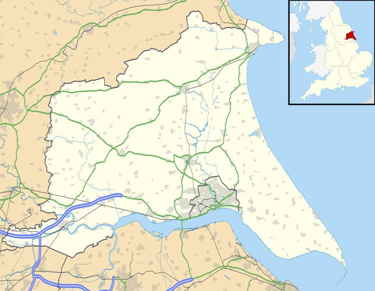
Map of Gowdall, Goole, UK
According to the 2011 UK Census, Gowdall parish had a population of 356, an increase on the 2001 UK Census figure of 318.
The parish was part of the Goole Rural District in the West Riding of Yorkshire from 1894 to 1974, then in Boothferry district of Humberside until 1996.
In the year 2000 the village was severely flooded, and made national news.
Each October, Gowdall residents host a 'Scarecrow and Pumpkin Festival'.
Toponymy
The name "Gowdall" originates from Old English. It translates as "Nook of land where marigolds grow", and is composed of the elements golde ("marigold") and halh ("nook of land"). The village was not mentioned in the Domesday Book but was recorded as Goldale sometime in the 12th century.