
District Faizabad Time zone IST (UTC+5:30) Elevation 97 m Local time Friday 2:30 PM | Founded by Mahant Goshain PIN 224141 Population 12,931 (2011) Area code 05278 | |
 | ||
Weather 32°C, Wind W at 18 km/h, 22% Humidity | ||
Goshainganj also known as Gosainganj (Hindi:गोशाँईगञ्ज, Urdu:گوشایںگنج) is a city and constituency in Faizabad district in the Indian state of Uttar Pradesh. Goshainganj is one of the oldest market in Faizabad district of Uttar Pradesh.
Contents
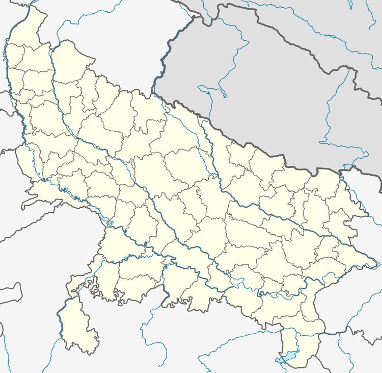
- Map of Gosainganj Uttar Pradesh 224141
- Geography
- Neighboring CitiesTowns and Markets
- By road
- By Train
- Demographics
- References
Map of Gosainganj, Uttar Pradesh 224141
Geography
Goshainganj is located at 26.58°N 82.38°E / 26.58; 82.38. It has an average elevation of 97m.saryu river is just far 10 km.
Neighboring Cities,Towns and Markets
By road
Goshainganj is situated along Nawab Yusuf Road (Faizabad to Jaunpur road) and is well connected to other towns and cities viz.
By Train
Goshainganj Railway Station is the nearest railway station situated within the city.
Demographics
As of 2001 India census, The Nager Panchayat Adyach of town is Mr. Ramesh Chandra Kashudhan. Goshainganj had a population of 12,622. Males constitute 52% of the population and females 48%. Goshainganj has an average literacy rate of 66%, higher than the national average of 59.5%: male literacy is 72%, and female literacy is 59%. In Goshainganj, 15% of the population is under 6 years of age.