
Car plates KGR | Area 967.4 km² | |
 | ||
Gminas Total 10 (incl. 1 urban)GorliceGmina BieczGmina BobowaGmina GorliceGmina LipinkiGmina ŁużnaGmina MoszczenicaGmina RopaGmina SękowaGmina Uście Gorlickie Points of interest SkiPark Magura, Muzeum Dwory Karwacja, St Paraskevi Church - K, Dwór obronny w Szymbarku, Muzeum Ziemi Bieckiej Destinations Gorlice, Wysowa‑Zdrój, Biecz, Izby, Szymbark - Lesser P | ||
Gorlice County (Polish: powiat gorlicki) is a unit of territorial administration and local government (powiat) in Lesser Poland Voivodeship, southern Poland, on the Slovak border. It was created on 1 January 1999 as a result of the Polish local government reforms passed in 1998. Its administrative seat and largest town is Gorlice, which lies 100 kilometres (62 mi) south-east of the regional capital Kraków. The only other towns in the county are Biecz, lying 12 km (7 mi) north-east of Gorlice, and Bobowa, 18 km (11 mi) west of Gorlice.
Contents
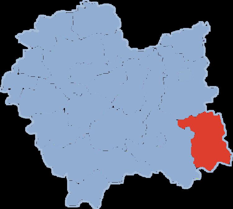
Map of Gorlice County, Poland
The county covers an area of 967.36 square kilometres (373.5 sq mi). As of 2006 its total population is 106,540, out of which the population of Gorlice is 28,539, that of Biecz is 4,585, that of Bobowa is 3,018, and the rural population is 70,398.
Neighbouring counties
Gorlice County is bordered by Nowy Sącz County to the west, Tarnów County to the north and Jasło County to the east. It also borders Slovakia to the south.
Administrative division
The county is subdivided into 10 gminas (one urban, two urban-rural and seven rural). These are listed in the following table, in descending order of population.