
Time zone IST (UTC+5:30) Population 49 (2011) | Circle Ahthibung Census code 268348 | |
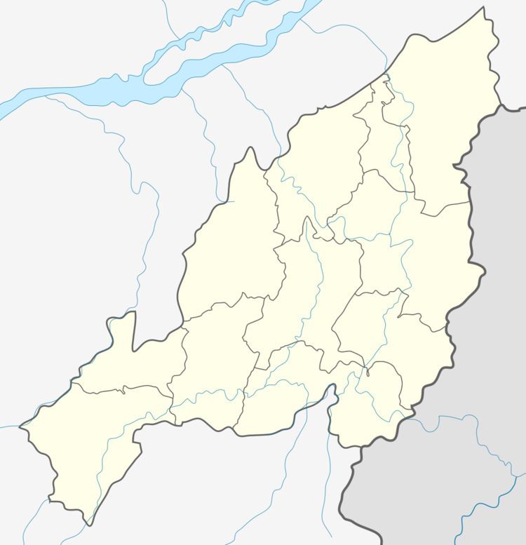 | ||
Gopibung is a village in the Peren district of Nagaland, India. It is located in the Ahthibung Circle.
Contents
Map of Gopibung, Nagaland 797110
Demographics
According to the 2011 census of India, Gopibung (UR) has 14 households. The effective literacy rate (i.e. the literacy rate of population excluding children aged 6 and below) is 71.05%.
References
Gopibung Wikipedia(Text) CC BY-SA