
Population 265 (2006 census) Postal code 2831 | Postcode(s) 2831 Elevation 140 m Local time Friday 10:58 AM | |
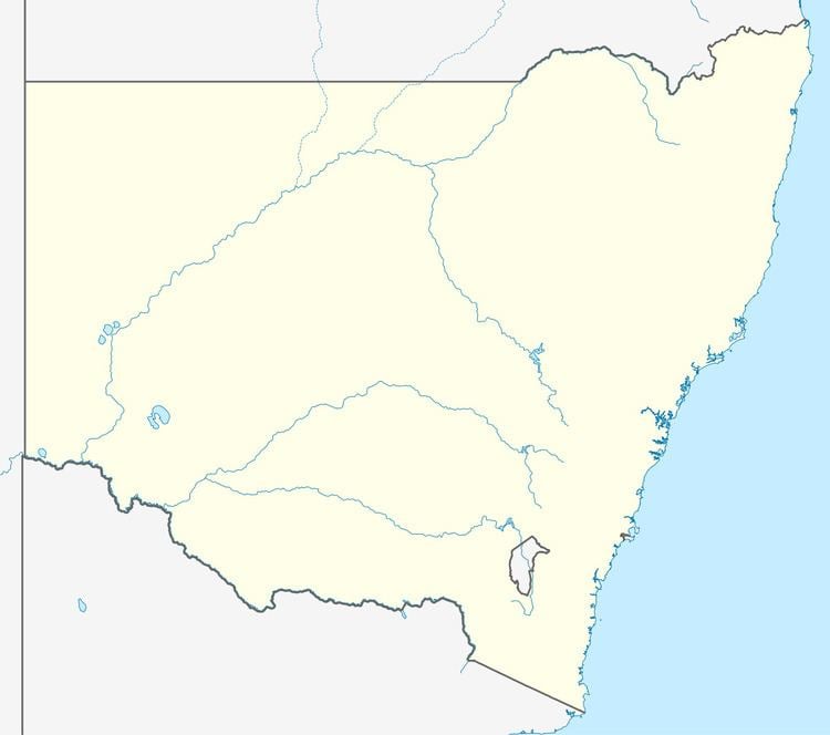 | ||
Location 784 km (487 mi) NW of Sydney714 km (444 mi) SW of Brisbane282 km (175 mi) W of Moree101 km (63 mi) NW of Lightning Ridge40 km (25 mi) SW of Hebel, QLD Weather 30°C, Wind SE at 14 km/h, 47% Humidity | ||
Goodooga is a village in the Australian state of New South Wales in Brewarrina Shire on the eastern bank of the Bokhara River. It is near Brewarrina and Lightning Ridge, its closest neighbour. The town lies 20 kilometres south of the Queensland border. Goodooga is an Aboriginal word meaning, according to some "Yam". However it has been proposed that it derives from "guduu+ga", 'at the place of the Murray cod' [guduu], rather than "gudugaa", a species of yam. At the 2006 census, Goodooga had a population of 265, with 81% of the population of Aboriginal descent.
Map of Goodooga NSW 2838, Australia
Goodooga's newspaper is the Goodooga Flash.
Goodooga's main sport is Rugby league, the Goodooga Magpies or the Goodooga 'Newtown' Jets. The other sports played in town are Netball, Bowls and Basketball.