
Vehicle registration JH Elevation 373 m | Time zone IST (UTC+5:30) Lok Sabha constituency Hazaribagh Population 149,810 (2011) | |
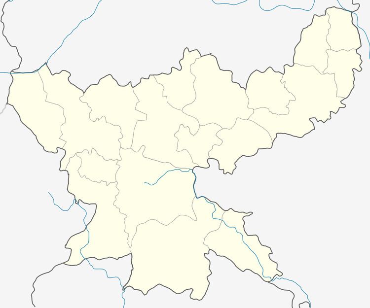 | ||
Gola (community development block) is an administrative division of Ramgarh district in the Indian state of Jharkhand.
Contents
Map of Gola, Jharkhand 829110
Geography
Gola is located at 23.5372°N 85.7171°E / 23.5372; 85.7171. It has an average elevation of 373 metres (1227 feet).
Gola CD Block covers an area of 82,981.76 acres, out of which 18,650 acres is forest area.
Gomti and Subarnarekha River passes through Gola CD Block.
Demographics
As per 2011 Census of India Gola CD Block had a total population of 149,810, all of which were rural. There were 76,765 males and 73,045 females. Scheduled Castes numbered 12,112 and Scheduled Tribes numbered 43,517.
Literacy
As per 2011 census the total number of literates in Gola CD Block was 83,590 out of which 50,420 were males and 33,170 were females.
Transport
NH 23 passes through Gola CD Block.