
District Sonitpur Vehicle registration AS Local time Thursday 8:50 AM | Time zone IST (UTC+5:30) Elevation 69 m ISO 3166 code ISO 3166-2:IN | |
 | ||
Weather 24°C, Wind SE at 5 km/h, 60% Humidity | ||
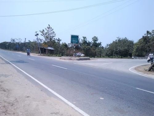
Rurality in gohpur town via assam to ziro
Gohpur (IPA: ˌgəʊəˈpʊə) is a town and a town area committee in Sonitpur district in the Indian state of Assam. It is a historical place of Assam, where the famous freedom fighter Kanaklata Barua was born.
Contents
- Rurality in gohpur town via assam to ziro
- Map of Gohpur Assam 784168
- Journey break at gohpur to ziro music festival from guwahati
- Geography
- Demographics
- Politics
- References
Map of Gohpur, Assam 784168
Journey break at gohpur to ziro music festival from guwahati
Geography
Gohpur is located at 26.88°N 93.63°E / 26.88; 93.63. It has an average elevation of 69 m (226 feet). The distance between Guwahati and Gohpur is 285 km by road and 266 km by rails. Aerial distance is 208 km. Gohpur also connects Itanagar, capital of Arunachal Pradesh, via NH 52. Itanagar is only 31 km from Gohpur through NH 52A. It also connects to Majuli and Jorhat by small ships through the Brahmaputra.
Demographics
As of 2001 India census, Gohpur had a population of 9408. Males constitute 53% of the population and females 47%. Gohpur has an average literacy rate of 72%, higher than the national average of 59.5%: male literacy is 77%, and female literacy is 66%. In Gohpur, 13% of the population is under 6 years of age. The main tribes living in this area are Karbi, Bodo, Mishing.
Politics
Gohpur is part of Tezpur Lok Sabha constituency. Gohpur Assembly Constituency is one of the biggest in Assam that spreads from Buroi to Hawajan in the North Bank of Assam.