
District Hamirpur Vehicle registration UP Elevation 146 m Local time Thursday 8:45 AM | Time zone IST (UTC+5:30) Website up.gov.in Population 7,503 (2011) | |
 | ||
Weather 22°C, Wind SW at 2 km/h, 38% Humidity | ||
Gohand is a town and a nagar panchayat in Hamirpur district in the Indian state of Uttar Pradesh. It is situated on UP-SH-21 15km from Rath & 40km from Orai
Contents
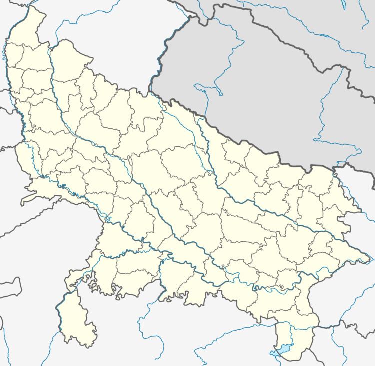
Map of Gohand, Uttar Pradesh
Geography
Gohand is located at 25.7°N 79.55°E / 25.7; 79.55. It has an average elevation of 146 metres (479 feet).
Demographics
As of 2001 India census, Gohand had a population of 7,503. Males constitute 55% of the population and females 45%. Gohand has an average literacy rate of 68.78%, lower than the national average of 74.04%: male literacy is 83.24%, and female literacy is 51.53%. In Gohand, 11.5% of the population is under 6 years of age.
References
Gohand Wikipedia(Text) CC BY-SA