
Population 310 (2011 census) Time zone AEST (UTC+10) | Postcode(s) 4702 Postal code 4702 | |
 | ||
Location 691 km (429 mi) from Brisbane65 km (40 mi) from Rockhampton205 km (127 mi) from Emerald Weather 32°C, Wind N at 8 km/h, 55% Humidity | ||
Video 445 capricorn highway duaringa to gogango
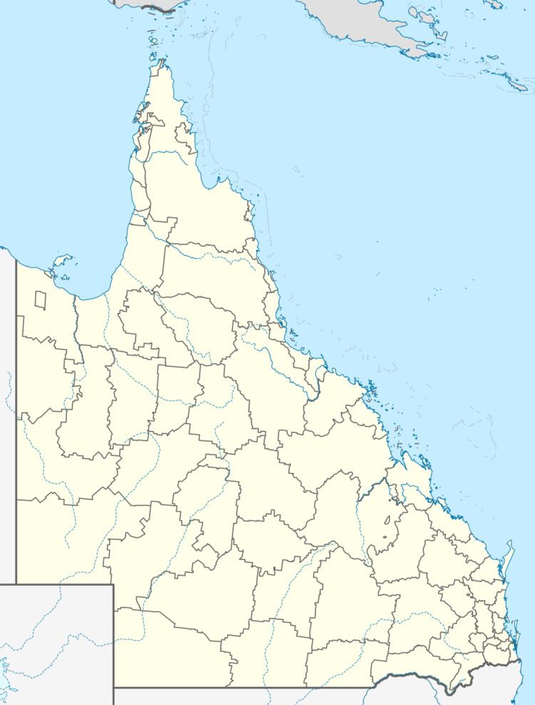
Gogango is a small town on the Capricorn Highway in Central Queensland, Australia. At the 2011 census, Gogango and the surrounding area had a population of 310.
Contents
- Video 445 capricorn highway duaringa to gogango
- Video 446 capricorn highway gogango to stanwell
- History
- Infrastructure
- Education
- Facilities
- Floods
- References
Video 446 capricorn highway gogango to stanwell
History
On 29 November 1950, the Gogango hall held an Ambulance Ball. People from Westwood, Mt Morgan and Rockhampton attended. In February 2015, Cyclone Marcia caused heavy rainfall which led to Gogango creek rising over the highway.
Infrastructure
The site for the proposed Rookwood weir is located on the Fitzroy River in the Gogango area, about 15 km from the township. When completed the $72 million weir will hold over 100 thousand megalitres. The Weir will be built over 2 stages, The first stage will be 17 metres high and the second stage will be 0.5 metre, With a complete height of 17.5 meters, Inundating 1,930 hectares.
Education
Gogango State School is a primary school in the township of Gogango. A bus travels out from Rockhapton to transport High school students back to South Rockhampton High School.
Facilities
Gogango has one public park, it is located at the corner of Third Street and Wills Street.
Floods
In the 2010-11 Queensland floods the Fitzroy River which passes through the area of Gogango rose to 28 meters. Gogango Creek also flooded, stopping traffic on the Capricorn Highway. The Capricorn highway was also flooded for more than 12 hours in January 2013.