
Area 472.1 km² | Time zone BST (UTC+6) | |
 | ||
Website Official Map of Godagari | ||
Godagari upazila samity picnic festival part 3
Godagari (Bengali: গোদাগাড়ী) is an Upazila of Rajshahi District in the Division of Rajshahi, Bangladesh. This is the place where Mahananda river fall to Padma or Ganges.
Contents
- Godagari upazila samity picnic festival part 3
- Map of Godagari Bangladesh
- Geography
- Demographics
- History
- Points of interest
- Administration
- Notable personality
- Education
- References
Map of Godagari, Bangladesh
Geography
Godagari is located at 24.4667°N 88.3306°E / 24.4667; 88.3306 . It has 40011 households and total area 472.13 km².
Demographics
As of the 1991 Bangladesh census, Godagari has a population of 217811. Males constitute 50.88% of the population, and females 49.12%. This Upazila's eighteen up population is 108869. Godagari has an average literacy rate of 27.6% (7+ years), and the national average of 32.4% literate.
History
The Deopara Prashasti, an important inscription in Sanskrit poetry describing the Sena dynasty of ancient Bengal, was discovered near the village of Deopara.
Points of interest
Padumsa Dighi (pond) of Raja Bijoy Sen at village Deopara (eleventh century), tomb of Hazrat Shah Sultan at Sultanganj (fourteenth century), tomb of Ali Kuli Beg at Kumarpur.
Marks of War of Liberation Memorial monument 1 (Sheikherpara).
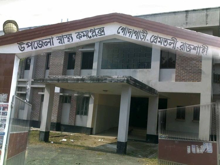
Administration
Godagari thana was established in 1865 and was turned into an upazila in 1984. It consists of nine union parishads, 389 mouzas and 396 villages.
Notable personality
A great saint (পীর) of Islam, Sayed Nohir Uddin Ahmad Nuh is a prominent sufi who founded a spiritual place Wahidiah Kalimiah Darbar Sharif in 1981.
Education
According to Banglapedia, Godagari School & College, founded in 1905, is a notable secondary school.