
Area 168.3 km² | Population 7,570 (2006) | |
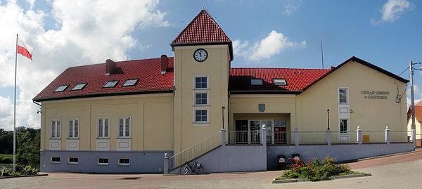 | ||
Gmina Santok is a rural gmina (administrative district) in Gorzów County, Lubusz Voivodeship, in western Poland. Its seat is the village of Santok, which lies approximately 12 kilometres (7 mi) east of Gorzów Wielkopolski.
Contents
Map of Gmina Santok, Poland
The gmina covers an area of 168.3 square kilometres (65.0 sq mi), and as of 2006 its total population is 7,570.
Villages
Gmina Santok contains the villages and settlements of Baranowice, Czechów, Górki, Gralewo, Janczewo, Jastrzębnik, Lipki Małe, Lipki Wielkie, Ludzisławice, Mąkoszyce, Nowe Polichno, Płomykowo, Santok, Stare Polichno and Wawrów.
Neighbouring gminas
Gmina Santok is bordered by the city of Gorzów Wielkopolski and by the gminas of Deszczno, Drezdenko, Kłodawa, Skwierzyna, Strzelce Krajeńskie and Zwierzyn.
References
Gmina Santok Wikipedia(Text) CC BY-SA