
Area 234.8 km² | Population 6,327 (2006) | |
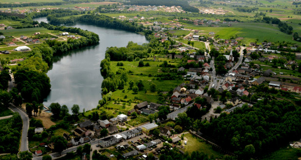 | ||
Gmina Kłodawa is a rural gmina (administrative district) in Gorzów County, Lubusz Voivodeship, in western Poland. Its seat is the village of Kłodawa, which lies approximately 7 kilometres (4 mi) north of Gorzów Wielkopolski.
Contents
Map of Gmina K%C5%82odawa, Poland
The gmina covers an area of 234.83 square kilometres (90.7 sq mi), and as of 2006 its total population is 6,327.
The gmina contains part of the protected area called Barlinek-Gorzów Landscape Park.
Villages
Gmina Kłodawa contains the villages and settlements of Chwalęcice, Kłodawa, Lipy, Łośno, Mironice, Mszaniec, Rębowo, Różanki, Różanki-Szklarnia, Rybakowo, Santocko, Santoczno, Wojcieszyce, Zamoksze and Zdroisko.
Neighbouring gminas
Gmina Kłodawa is bordered by the city of Gorzów Wielkopolski and by the gminas of Barlinek, Lubiszyn, Nowogródek Pomorski, Santok and Strzelce Krajeńskie.