
Population 4,289 (2006) | Area 81.71 km² | |
 | ||
Voivodeship Świętokrzyskie Voivodeship | ||
Gmina Sadowie is a rural gmina (administrative district) in Opatów County, Świętokrzyskie Voivodeship, in south-central Poland. Its seat is the village of Sadowie, which lies approximately 7 kilometres (4 mi) north-west of Opatów and 54 km (34 mi) east of the regional capital Kielce.
Contents
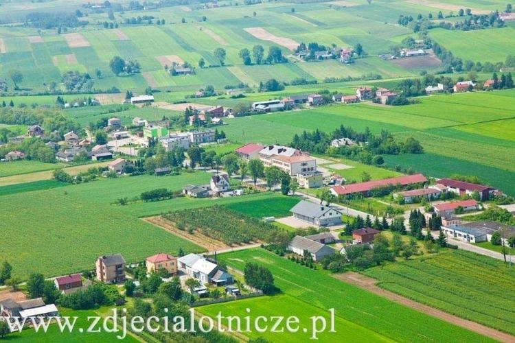
Map of Gmina Sadowie, Poland
The gmina covers an area of 81.71 square kilometres (31.5 sq mi), and as of 2006 its total population is 4,289.
The gmina contains part of the protected area called Jeleniowska Landscape Park.
Villages
Gmina Sadowie contains the villages and settlements of Biskupice, Bogusławice, Bukowiany, Czerwona Góra, Grocholice, Jacentów, Łężyce, Małoszyce, Michałów, Niemienice, Obręczna, Okręglica, Porudzie, Ruszków, Ruszkowiec, Rżuchów, Sadowie, Szczucice, Truskolasy, Wszechświęte, Zochcin and Zwola.
Neighbouring gminas
Gmina Sadowie is bordered by the gminas of Baćkowice, Bodzechów, Ćmielów, Opatów and Waśniów.