
Area 90.51 km² Population 5,925 (2006) | ||
 | ||
Website | ||
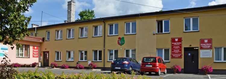
Gmina Rokiciny is a rural gmina (administrative district) in Tomaszów Mazowiecki County, Łódź Voivodeship, in central Poland. Its seat is the village of Rokiciny, which lies approximately 22 kilometres (14 mi) north-west of Tomaszów Mazowiecki and 28 km (17 mi) south-east of the regional capital Łódź.
Contents
Map of Gmina Rokiciny, Poland
The gmina covers an area of 90.51 square kilometres (34.9 sq mi), and as of 2006 its total population is 5,925.
Villages
Gmina Rokiciny contains the villages and settlements of Albertów, Cisów, Eminów, Janinów, Janków, Jankówek, Łaznów, Łaznów-Kolonia, Łaznówek, Łaznowska Wola, Maksymilianów, Michałów, Mikołajów, Nowe Chrusty, Pogorzałe Ługi, Popielawy, Reginów, Rokiciny, Rokiciny-Kolonia, Stare Chrusty and Stefanów.
Neighbouring gminas
Gmina Rokiciny is bordered by the gminas of Będków, Brójce, Koluszki and Ujazd.