
Area 147.8 km² | ||
 | ||
Website | ||
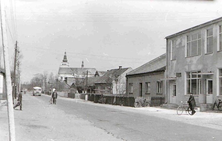
Gmina Pysznica is a rural gmina (administrative district) in Stalowa Wola County, Subcarpathian Voivodeship, in south-eastern Poland. Its seat is the village of Pysznica, which lies approximately 6 kilometres (4 mi) east of Stalowa Wola and 61 km (38 mi) north of the regional capital Rzeszów.
Contents
Map of Gmina Pysznica, Poland
The gmina covers an area of 147.82 square kilometres (57.1 sq mi), and as of 2006 its total population is 9,492 (10,480 in 2013).
Neighbouring gminas
Gmina Pysznica is bordered by the town of Stalowa Wola and by the gminas of Janów Lubelski, Jarocin, Modliborzyce, Nisko, Potok Wielki, Radomyśl nad Sanem, Ulanów and Zaklików.
Villages
Gmina Pysznica contains the villages of Bąków, Brandwica, Chłopska Wola, Jastkowice, Kłyżów, Krzaki, Olszowiec, Pysznica, Słomiana, Studzieniec and Sudoły.