
Population 4,082 (2006) | Area 64.31 km² | |
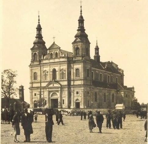 | ||
Gmina Parysów is a rural gmina (administrative district) in Garwolin County, Masovian Voivodeship, in east-central Poland. Its seat is the village of Parysów, which lies approximately 9 kilometres (6 mi) north-east of Garwolin and 55 km (34 mi) south-east of Warsaw.
Contents
Map of Gmina Parys%C3%B3w, Poland
The gmina covers an area of 64.31 square kilometres (24.8 sq mi), and as of 2006 its total population is 4,082.
Villages
Gmina Parysów contains the villages and settlements of Choiny, Górki-Kolonia, Kozłów, Łukowiec, Parysów, Poschła, Słup, Starowola, Stodzew, Wola Starogrodzka and Żabieniec.
Neighbouring gminas
Gmina Parysów is bordered by the gminas of Borowie, Garwolin, Latowicz, Pilawa and Siennica.
References
Gmina Parysów Wikipedia(Text) CC BY-SA