
Population 3,204 (2006) | Area 70.72 km² | |
 | ||
Voivodeship | ||
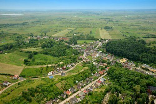
Gmina Miasteczko Krajeńskie is a rural gmina (administrative district) in Piła County, Greater Poland Voivodeship, in west-central Poland. Its seat is the village of Miasteczko Krajeńskie, which lies approximately 20 kilometres (12 mi) south-east of Piła and 77 km (48 mi) north of the regional capital Poznań.
Contents
Map of Gmina Miasteczko Kraje%C5%84skie, Poland
The gmina covers an area of 70.72 square kilometres (27.3 sq mi), and as of 2006 its total population is 3,204.
Villages
Gmina Miasteczko Krajeńskie contains the villages and settlements of Arentowo, Brzostowo, Grabionna, Grabówno, Miasteczko Krajeńskie, Miasteczko-Huby, Okaliniec, Solnówek and Wolsko.
Neighbouring gminas
Gmina Miasteczko Krajeńskie is bordered by the gminas of Białośliwie, Chodzież, Kaczory, Szamocin and Wysoka.
References
Gmina Miasteczko Krajeńskie Wikipedia(Text) CC BY-SA