
Area 120.8 km² | Population 5,205 (2006) | |
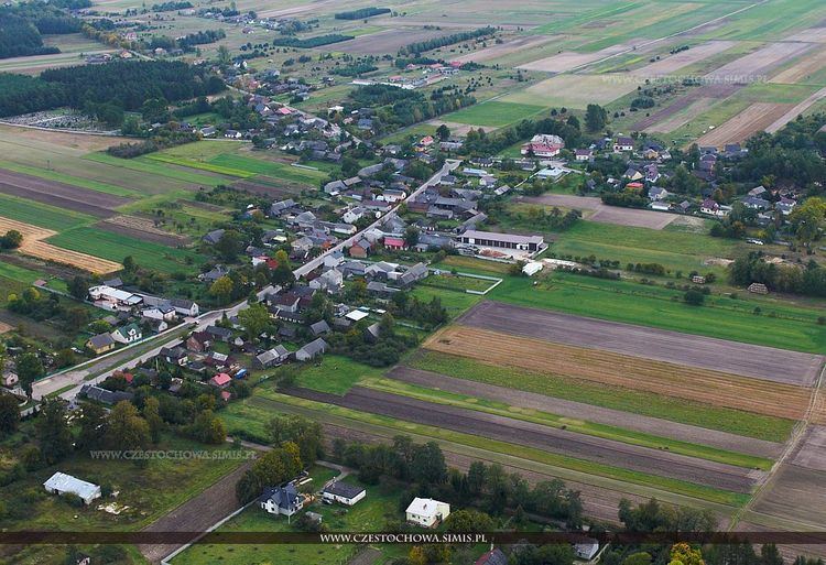 | ||
Gmina Lelów is a rural gmina (administrative district) in Częstochowa County, Silesian Voivodeship, in southern Poland. Its seat is the village of Lelów, which lies approximately 39 kilometres (24 mi) east of Częstochowa and 66 km (41 mi) north-east of the regional capital Katowice.
Contents
Map of Gmina Lel%C3%B3w, Poland
The gmina covers an area of 120.81 square kilometres (46.6 sq mi), and as of 2006 its total population is 5,205.
Villages
Gmina Lelów contains the villages and settlements of Biała Wielka, Celiny, Drochlin, Gródek, Konstantynów, Lelów, Lgota Błotna, Lgota Gawronna, Mełchów, Nakło, Paulinów, Podlesie, Posłoda, Skrajniwa, Ślęzany, Staromieście and Turzyn.
Neighbouring gminas
Gmina Lelów is bordered by the gminas of Irządze, Janów, Koniecpol, Niegowa, Przyrów and Szczekociny.
References
Gmina Lelów Wikipedia(Text) CC BY-SA