
Population 2,700 Local time Sunday 11:56 PM | ||
 | ||
Weather 4°C, Wind SW at 10 km/h, 98% Humidity | ||
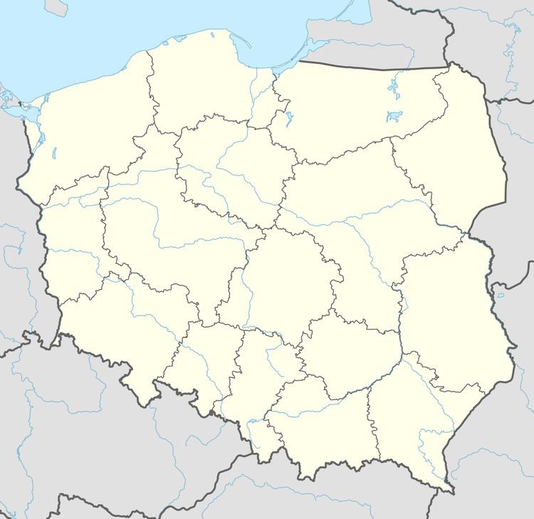
Kłodawa [kwɔˈdava] (German Kladow) is a village in Gorzów County, Lubusz Voivodeship, in western Poland. It is the seat of the gmina (administrative district) called Gmina Kłodawa. It lies approximately 7 km (4 mi) north of Gorzów Wielkopolski.
Map of K%C5%82odawa, Poland
Before 1945 the area was part of Germany. After World War II the region was placed under Polish administration by the Potsdam Agreement under territorial changes demanded by the Soviet Union. Most Germans fled or were expelled and were replaced with Poles expelled from the Polish areas annexed by the Soviet Union.
The village has a population of 2,700 (in 2016).
References
Kłodawa, Lubusz Voivodeship Wikipedia(Text) CC BY-SA