
Population 2,962 (2006) | Area 96.73 km² | |
 | ||
Website | ||
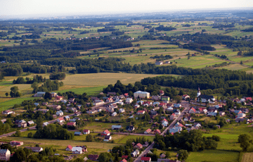
Gmina Jasionówka is a rural gmina (administrative district) in Mońki County, Podlaskie Voivodeship, in north-eastern Poland. Its seat is the village of Jasionówka, which lies approximately 16 kilometres (10 mi) east of Mońki and 33 km (21 mi) north of the regional capital Białystok.
Contents
Map of Gmina Jasion%C3%B3wka, Poland
The gmina covers an area of 96.73 square kilometres (37.3 sq mi), and as of 2006 its total population is 2,962.
Villages
Gmina Jasionówka contains the villages and settlements of Brzozówka Folwarczna, Czarnystok, Dobrzyniówka, Górnystok, Jasionóweczka, Jasionówka, Kalinówka Królewska, Kamionka, Kąty, Koziniec, Krasne Folwarczne, Krasne Małe, Krasne Stare, Krzywa, Kujbiedy, Łękobudy, Milewskie and Słomianka.
Neighbouring gminas
Gmina Jasionówka is bordered by the gminas of Czarna Białostocka, Jaświły, Knyszyn and Korycin.