
Population 11,326 (2006) | Area 99.05 km² | |
 | ||
Voivodeship | ||
Gmina golina tereny inwestycyjne przy autostradzie a2
Gmina Golina is an urban-rural gmina (administrative district) in Konin County, Greater Poland Voivodeship, in west-central Poland. Its seat is the town of Golina, which lies approximately 12 kilometres (7 mi) north-west of Konin and 83 km (52 mi) east of the regional capital Poznań.
Contents
- Gmina golina tereny inwestycyjne przy autostradzie a2
- Map of Gmina Golina Poland
- Villages
- Neighbouring gminas
- References
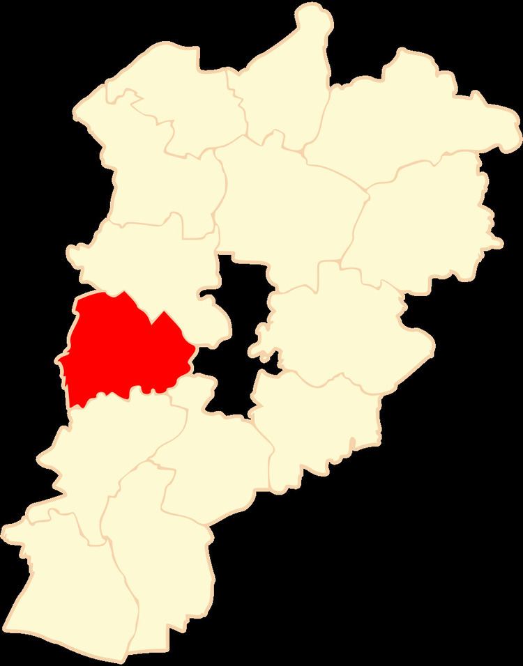
Map of Gmina Golina, Poland
The gmina covers an area of 99.05 square kilometres (38.2 sq mi), and as of 2006 its total population is 11,326 (out of which the population of Golina amounts to 4,330, and the population of the rural part of the gmina is 6,996).
Villages
Apart from the town of Golina, Gmina Golina contains the villages and settlements of Adamów, Barbarka, Bobrowo, Brzeźniak, Chrusty, Głodowo, Golina-Kolonia, Kawnice, Kolno, Kraśnica, Lubiecz, Myśliborskie Holendry, Myślibórz, Przyjma, Radolina, Rosocha, Sługocinek, Spławie and Węglew.
Neighbouring gminas
Gmina Golina is bordered by the city of Konin and by the gminas of Kazimierz Biskupi, Lądek, Rzgów, Słupca and Stare Miasto.