
Area 247.6 km² | Website www.bledzew.pl Population 4,591 (2011) | |
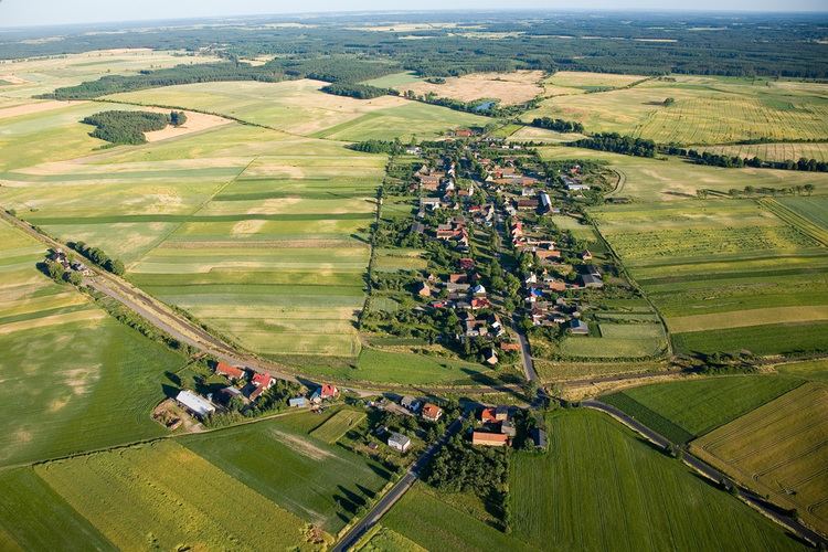 | ||
Gmina Bledzew is a rural gmina (administrative district) in Międzyrzecz County, Lubusz Voivodeship, in western Poland. Its seat is the village of Bledzew, which lies approximately 15 kilometres (9 mi) north-west of Międzyrzecz, 27 km (17 mi) south-east of Gorzów Wielkopolski, and 65 km (40 mi) north of Zielona Góra.
Contents
Map of Gmina Bledzew, Poland
The gmina covers an area of 247.58 square kilometres (95.6 sq mi), and as of 2006 its total population is 4,616 (4,591 in 2011).
Villages
Gmina Bledzew contains the villages and settlements of Bledzew, Bledzewka, Chycina, Dębowiec, Elektrownia, Goruńsko, Katarzynki, Kleszczewo, Kryl, Krzywokleszcz, Małoszewo, Nowa Wieś, Osada Rybacka, Osiecko, Pniewo, Popowo, Sokola Dąbrowa, Stary Dworek, Strużyny, Templewko, Templewo, Tymiana and Zemsko.
Neighbouring gminas
Gmina Bledzew is bordered by the gminas of Deszczno, Lubniewice, Międzyrzecz, Przytoczna, Skwierzyna and Sulęcin.