
County Sokołów Area 109.6 km² | ||
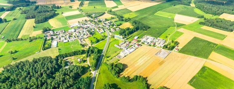 | ||
Gmina Bielany is a rural gmina (administrative district) in Sokołów County, Masovian Voivodeship, in east-central Poland. Its seat is the village of Bielany, which lies approximately 8 kilometres (5 mi) south of Sokołów Podlaski and 86 km (53 mi) east of Warsaw.
Contents
Map of Gmina Bielany, Poland
The gmina covers an area of 109.6 square kilometres (42.3 sq mi), and as of 2006 its total population is 3,854 (3,731 in 2013).
Villages
Gmina Bielany contains the villages and settlements of Bielany, Bielany-Jarosławy, Bielany-Wąsy, Błonie Duże, Błonie Małe, Brodacze, Dmochy-Rętki, Dmochy-Rogale, Korabie, Kowiesy, Kożuchów, Kożuchówek, Księżopole-Budki, Księżopole-Komory, Kudelczyn, Paczuski Duże, Patrykozy, Patrykozy-Kolonia, Rozbity Kamień, Ruciany, Ruda-Kolonia, Sikory, Trebień, Wańtuchy, Wiechetki Duże, Wiechetki Małe, Wojewódki Dolne, Wojewódki Górne and Wyszomierz.
Neighbouring gminas
Gmina Bielany is bordered by the gminas of Liw, Mokobody, Paprotnia, Repki, Sokołów Podlaski and Suchożebry.