
Seat Łopuszno Population 8,996 (2006) | Area 176.8 km² | |
 | ||
Voivodeship Świętokrzyskie Voivodeship | ||
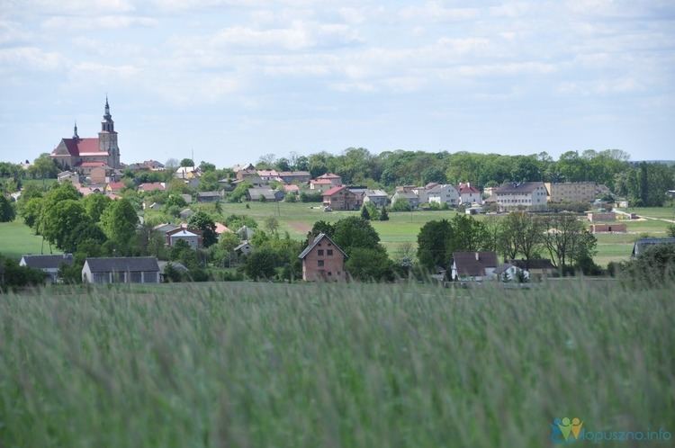
Gmina Łopuszno is a rural gmina (administrative district) in Kielce County, Świętokrzyskie Voivodeship, in south-central Poland. Its seat is the village of Łopuszno, which lies approximately 27 kilometres (17 mi) west of the regional capital Kielce.
Contents
Map of Gmina %C5%81opuszno, Poland
The gmina covers an area of 176.81 square kilometres (68.3 sq mi), and as of 2006 its total population is 8,996.
The gmina contains part of the protected area called Przedbórz Landscape Park.
Villages
Gmina Łopuszno contains the villages and settlements of Antonielów, Czałczyn, Czartoszowy, Dobrzeszów, Eustachów, Ewelinów, Fanisławice, Fanisławiczki, Gnieździska, Grabownica, Huta Jabłonowa, Jasień, Jedle, Józefina, Krężołek, Lasocin, Łopuszno, Marianów, Nowek, Olszówka, Orczów, Piotrowiec, Podewsie, Przegrody, Ruda Zajączkowska, Rudniki, Sarbice Drugie, Sarbice Pierwsze, Snochowice and Wielebnów.
Neighbouring gminas
Gmina Łopuszno is bordered by the gminas of Krasocin, Małogoszcz, Mniów, Piekoszów, Radoszyce, Słupia and Strawczyn.