
Population 2,856 (2011 census) | Postcode(s) 2756 Postal code 2756 | |
 | ||
Location 68 km (42 mi) north-west of Sydney CBD | ||
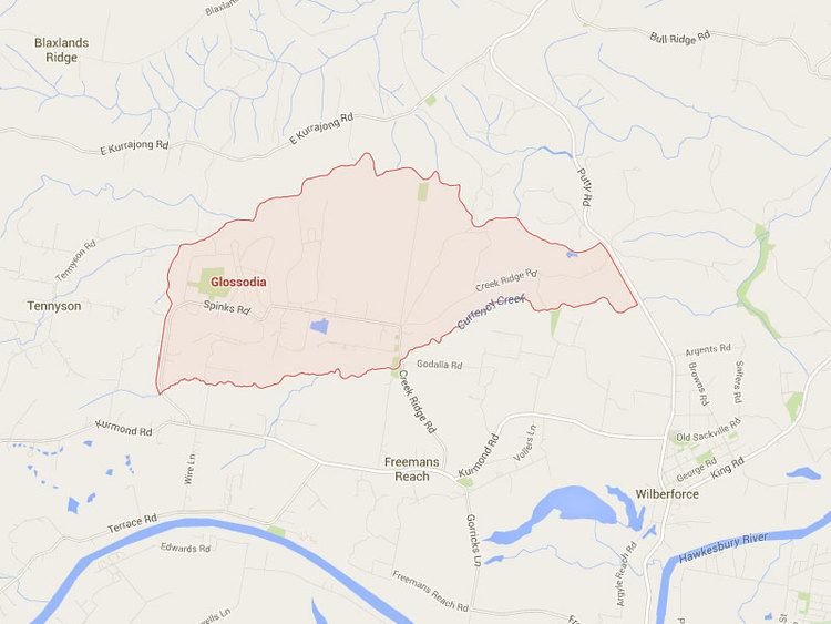
Glossodia is a semi-rural suburb of Sydney, in the state of New South Wales, Australia. Glossodia is located 68 kilometres north-west of the Sydney central business district in the local government area of the City of Hawkesbury.
Contents
Map of Glossodia NSW 2756, Australia
History
Glossodia was formerly known as "Currency Creek" and its name was changed in 1922. The name Glossodia originates from a small genus of mostly purple orchids from Australia, which grow in the area.
Population
According to the 2011 census, there were 2,856 residents in Glossodia. The majority of people (86%) were born in Australia and the most common self-identified ancestries were Australian (34%) and English (30%). The top religious affiliations were Anglican 34.4% and Catholic 27.4%. Family households (86.6%) were the most common type of household, followed by single households (11.7%) and group households (1.7%)
Landmarks
The suburb is home to Glossodia Public School. The area includes a day care centre, shops, and soccer fields, all within walking distance of the school. It is also the location of the Sydney Guide Dog Centre.