 | ||
Similar Killin Junction railway st, Loch Lubnaig, Balquhidder railway station, Oban railway station, Ben Ledi | ||
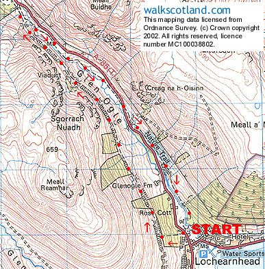
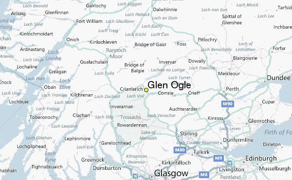
Glen Ogle (Scottish Gaelic: Gleann Ogail) extends 7 miles north westwards from Lochearnhead to Lix Toll, where it opens into Glen Dochart.
Contents
The Ogle Burn flows within the steep sides of the glen, from the Lochan Lairig Cheile at the glen's head.
The military road, which can be seen from the modern road, was built in 1749 by Major William Caulfeild. It was used by the British Army in its efforts to pacify the Highlands after the Jacobite Rising of 1745.
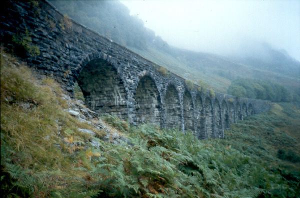
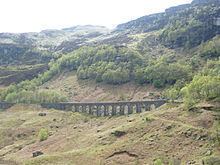
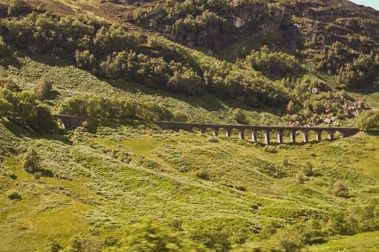
Glen ogle viaduct
Railway walk
It is possible to walk through the glen on a footpath that follows the course of the former Callander and Oban Railway to the summit of the glen and Killin Junction. The route uses the Category B listed 150-yard (140 m) long Glen Ogle viaduct, built between 1866 and 1870. The original design was for 20 arches, but the bridge was built with 12 stone arches.