
Country United States Time zone Eastern (EST) (UTC-5) Elevation 302 m Zip code 13777 Population 485 (2010) | State New York ZIP codes 13777 Area 2.6 km² Local time Tuesday 2:06 PM Area code 607 | |
 | ||
Weather -7°C, Wind N at 27 km/h, 87% Humidity | ||
Glen Aubrey is a hamlet (and census-designated place) located in the town of Nanticoke in Broome County, New York, United States. Its population was 485 at the 2010 census.
Contents
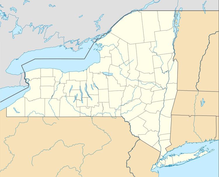
Map of Glen Aubrey, NY, USA
Geography
Glen Aubrey is located in the southeast part of the town of Nanticoke. New York State Route 26 passes through the community, leading south 12 miles (19 km) to Endicott (west of Binghamton) and north 6 miles (10 km) to Interstate 81 at Whitney Point.
According to the United States Census Bureau, the CDP has a total area of 1.0 square mile (2.6 km2), all of it land.
Glen Aubrey is in the valley of the East Branch of Nanticoke Creek, which flows south to the Susquehanna River.
References
Glen Aubrey, New York Wikipedia(Text) CC BY-SA