
Postcode(s) 5037 Postal code 5037 Federal division Division of Hindmarsh | Local time Wednesday 12:33 AM | |
 | ||
Population 2,837 (2011 census)2,827 (2006 census) LGA(s) City of MarionCity of West Torrens Weather 22°C, Wind E at 10 km/h, 59% Humidity | ||
Glandore (postcode 5037) is a suburb of Adelaide, South Australia, partly in the City of Marion and partly in the City of West Torrens. The name is believed to come from Glandore in County Cork, Ireland, whence the family of John O'Dea, one of the original property owners of the area, came.
Map of Glandore SA 5037, Australia
Glandore lies south-west of Adelaide, halfway between the beachside suburb of Glenelg and the central business district. It is bordered by Anzac Highway (north), Cross Road (south), South Road (east), and Beckman Street and Winifred Avenue (west). Suburbs surrounding Glandore include Edwardstown, Black Forest, Everard Park, Kurralta Park and Plympton. The Adelaide-Glenelg tramline runs though the middle of the suburb with stations at South Road, Burke Street and Beckman Street. North of the tramline, Glandore is in the City of West Torrens local government area, and south of the tramline, it forms part of the City of Marion.
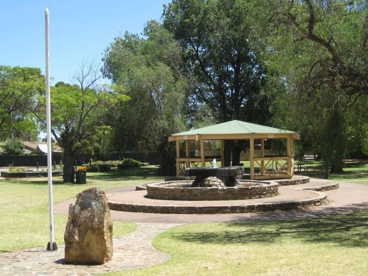
A number of parks are located within the suburb boundaries, including Glandore Oval, Jubilee Park and the grounds of the Glandore Community Centre.
The City of Marion section of Glandore was originally named Edwardstown and this area also housed the former Windana Boys Home, a correctional facility for young males.