
Type Road Length 8 km | Route number(s) A3 | |
 | ||
Major suburbs | ||
Cross Road is a major arterial road that travels east–west through the inner southern suburbs of the Australian city of Adelaide. Its western terminus is at Anzac Highway, travelling east and ending at Glen Osmond and the Adelaide Hills, joining the junction of Glen Osmond Road, Portrush Road, and South Eastern Freeway.
Contents
Map of Cross Rd, South Australia, Australia
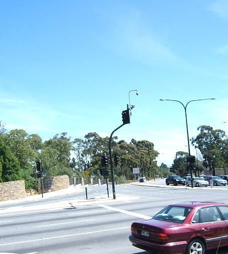
Route description
There are three railway level crossings along Cross Road: the Glenelg Tram in Plympton, the Seaford railway line at Emerson Crossing and the Belair railway line and Adelaide-Melbourne railway in Unley Park. South Road passes over the Emerson level crossing on a large overpass. It was built between 1982 and 1984 to reduce the traffic congestion caused by the junction and level crossing. All other junctions are at-grade, with traffic lights at main roads.
There are a number of suburbs which Cross Road passes through and borders. These are:
History
In a 1949 street directory, Cross Road had its current route, but was named "Cross Roads" (plural) and is shown as the aggregation of a number of local street names including: