
Population 1,018 (2011 census) Civil parish Glaisdale Sovereign state United Kingdom | OS grid reference NZ775054 Local time Tuesday 1:36 PM District Borough of Scarborough | |
 | ||
Weather 13°C, Wind W at 39 km/h, 58% Humidity | ||
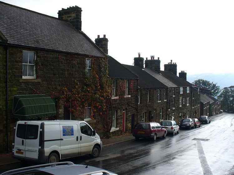
Glaisdale is a village and civil parish in the Scarborough district of North Yorkshire, England, within the North York Moors National Park. It lies at grid reference NZ775054 on the River Esk, between the villages of Lealholm and Egton Bridge, 8 miles (13 km) west of Whitby, and is served by Glaisdale railway station on the Esk Valley Line. The village lies on the Regional walking route, the Esk Valley Walk.
Contents
Map of Glaisdale, Whitby, UK
According to the 2011 UK census, Glaisdale parish had a population of 1,018, an increase on the 2001 UK census figure of 974.
Beggar's Bridge
At the eastern edge of the village lies Beggar's Bridge, built by Thomas Ferris in 1619. Ferris was a poor man who hoped to wed the daughter of a wealthy local squire. In order to win her hand, he planned to set sail from Whitby to make his fortune. On the night that he left, the Esk was swollen with rainfall and he was unable to make a last visit to his intended. He eventually returned from his travels a rich man and, after marrying the squire's daughter, built Beggar's Bridge so that no other lovers would be separated as they were.