Country Afghanistan Elevation 1,364 m | Time zone +4:30 | |
 | ||
Gizab (Pashto: ګيزاب) is the capital of Gizab District of Urozgan Province, Afghanistan. It is located along the Helmand River.
Contents
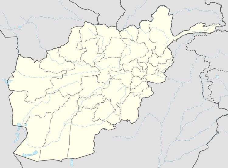
Map of Gizab, Afghanistan
Climate
With an influence from the local steppe climate, Gizab features a cold semi-arid climate (BSk) under the Köppen climate classification. The average temperature in Gizab is 13.8 °C, while the annual precipitation averages 206 mm.
July is the hottest month of the year with an average temperature of 26.8 °C. The coldest month January has an average temperature of -1.0 °C.
References
Gizab Wikipedia(Text) CC BY-SA
