
Country Language spoken Area 19.51 km2 | District Founded 1903 | |
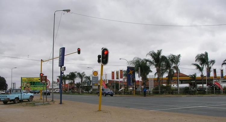
Giyani is a town in the Limpopo province in north eastern South Africa, and former capital of the Gazankulu bantustan. Giyani is situated at the intersection between R578 road (South Africa) and R81. It is located in the heart of Limpopo Bushveld, on the northern bank of the Klein (Little) Letaba River west of Kruger National Park. Situated in the northern portion of former Gazankulu, Giyani was established in the 1960s as the administrative centre for the Tsonga people. Giyani is now the administrative capital of Mopani District Municipality. Giyani lies 470 km north east of Johannesburg by road, 104 km from Tzaneen and 105 km from the Phalaborwa Gate of the Kruger National Park.
Contents
- Map of Giyani
- Tshepo modungoa giyani crusade no repentants after death
- History
- Culture
- Economy
- Tourism
- References
Map of Giyani
The Giyani Ward at Elim Hospital was named after Giyani, the ward was opened in 1969 and since the first Gazankulu Legislative Assembly was convened at the same time (1969) when the new ward at Elim Hospital was being opened, the Gazankulu Government therefore named the ward at Elim Hospital Giyani Ward in honour of the Gazankulu Capital city. Six years later in 1975, the Gazankulu Government named another newly built Ward at Elim Hospital Valdezia Ward in honour of the first Swiss Mission Station in Valdezia, 10 km east of Waterval township. The Swiss Missionaries did mission work amongst the Tsonga people in the Hlanganani district of the former Gazankulu homeland. Later, the Swiss missionaries expanded its mission work to a large Tsonga settlement at Masana in Bushbuckridge and at Shiluvana settlement near Tzaneen.
Tshepo modungoa giyani crusade no repentants after death
History
Giyani was established during the 1960s as a capital City of Gazankulu, before the 1960s, the land where Giyani is situated belonged to the Risinga Community. The Risinga Community originally came from the Elim district, next to the township of Waterval, above Elim Hospital, where they lived under the authority and were subjects of Paramount chief / Hosi Njhakanjhaka of Elim. Before moving to Giyani during the 1880s, the Risinga Community were subject of Chief/ Hosi Njhakanjhaka and occupied the land where the village of Shirley is situated today and were falling under Elim / Shirley Tribal Authority under Hosi Njhakanhjaka. The Risinga community moved to Giyani during the 1880s in search of pastures for their livestock and settled on the foothills of Manombe Mountain, similar to the lands they left behind at Elim/Shirley.

The entire land on the foothills of Manombe Mountain belonged to them until they were uprooted by the Apartheid Government to make way for the establishment of the town of Giyani. The Old Parliament Buildings at Giyani and the old Ministerial Houses as well as the Palace of the then Chief Minister of Gazankulu were built on what used to be the Chiefs Kraal and headquarters of the Risinga Community. Across the main road, the Risinga Community used to drive their herds of cattle for grazing at a place known today as Giyani Golf course. The Risinga Community was forcefully removed during the 1960s in order to make way for a new Capital of Gazankulu. Upon their arrival at the foothills of Monombe mountain, they became independent and had their own chief/ Hosi that ruled the Risinga Community until they were expelled from Giyani during the consolidation of Gazankulu homeland. The name Risinga was replaced by Giyaniand the Risinga Community lost their land. The only thing that remain of the Risinga Community was a High School at Giyani section D2, named Risinga High School, the school was named after the Risinga chieftainship that was destroyed during the 1960s by the apartheid Government.
The Mabunda Tribe, under chief/ Hosi Ngobe, was situated not far from the Risinga Community, but was not their chief and chief Ngobe or the Mabunda Tribe did not have Authority over the Risinga Community, the Risinga Community had their own independent chief, Chief Risinga. After the expulsion and removal of the Risinga Community in the 1960s, the Mabunda Tribe was allocated land that traditionally belong to the Risinga Community. All the lands where the town of Giyani is situated and surrounding lands belonged to the Risinga Community but the apartheid Government wrongly allocated that land to the Mabunda tribe and banished the Risinga Community into the wilderness.
Culture
Most residents of Giyani speak Xitsonga as their first language. The Tsonga women perform the xibelani dance and the men enjoy mpuluto and makhwaya. The Tsonga people also engage in a custom dance called mchongolo. Xibelani is an African skirt designed to make the wearers hips look bigger so the shaking can be more apparent. The Tsonga people have their own distinct music when the xibelani dance is performed. The staple diet in Giyani is maize porridge (or pap in Afrikaans,and rice often eaten with meat, chicken and vegetables (matsavu).
Economy
Giyanis economy is predominately rural-based. Cattle ranching and producing maize, peanuts, tomatoes, potatoes, mangoes and bananas forms the backbone of farming. With the economic boom, Giyani has now become a major retail and entertainment centre for the local population. Modern shopping centres, with all the well-known chain stores presented, have vastly uplifted the local trade.
Tourism
Giyanis location in the warm African Bushveld makes it attractive for both local and international visitors. The Giyani Golf course is home to zebra, giraffe, bushbuck and some other herbivores. Viewing of these animals has not yet been commercialized.
At the moment, there are a number of Bed and Breakfast and Guest House facilities for tourists. A few are: Riverside Guest House, Xisaka Bed and Breakfast, Tihosi guest house, Elridge Mountain Lodge, Rosanna guest house and Mopani Guest House.
Limpopo Lodge (formerly Giyani Hotel) is situated in the centre of town and managed by the Oasis Group. Manombe Nature Reserve is located 6 km east of Giyani.