Population 2,051 (1999) | Area 5.95 km² Local time Tuesday 12:10 PM | |
 | ||
Weather 10°C, Wind SW at 19 km/h, 90% Humidity | ||
Givenchy-en-Gohelle is a commune in the Pas-de-Calais department in the Hauts-de-France region of France.
Contents
Map of Givenchy-en-Gohelle, France
Geography
Givenchy-en-Gohelle is a large farming village situated 6 miles (9.7 km) north of Arras, at the junction of the D51 and the D55 roads. Its neighboring communes are Souchez to the west, Angres to the northwest, Liévin to the north, Avion to the east and Vimy to the southeast.
The Bois de Givenchy or Givenchy Forest, covers much of the commune on its northern side. To further the agricultural range of products, the commune of Givenchy-en-Gohelle have planted grapes (chardonnay and pinot gris). The first grape harvest took place in 2000.
History
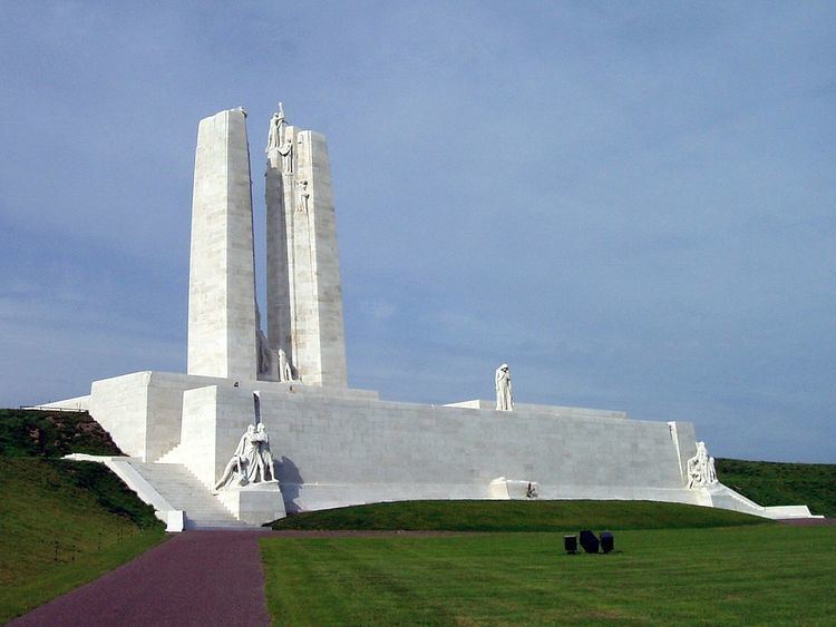
During the First World War, Givenchy-en-Gohelle was on the front line between German and Allied forces and severely damaged, particularly during the Battle of Vimy Ridge in 1917. For much of the First World War, the village also was the site of sustained underground fighting between German and British tunneling units.
