
Area 4.82 km² Local time Saturday 2:21 PM | Canton Liévin-Sud Time zone CET (UTC+1) Population 4,469 (1999) | |
 | ||
Weather 10°C, Wind SW at 29 km/h, 65% Humidity | ||
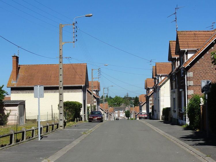
Angres is a commune in the Pas-de-Calais department in the Hauts-de-France region of France.
Contents
Map of Angres, France
Geography
A farming and light industrial suburb situated just3 miles (4.8 km) southwest of Lens centre, at the junction of the D51 and D58e roads. The A26 autoroute passes by, just within the borders of the commune.
Sights
International relations
Angres is twinned with: Danderhall, Midlothian, Scotland.
References
Angres Wikipedia(Text) CC BY-SA