
Area 3,526 km² | Development region Sud Time zone EET (UTC+2) Population 265,494 (2011) | |
 | ||
Clubs and Teams FC Astra Giurgiu, CSM Dunărea Giurgiu Points of interest Destinations Danube, Comana Natural P, Giurgiu, Comana, Bolintin‑Vale | ||
Giurgiu ([ˈd͡ʒjurd͡ʒju]) is a county (judeţ) of Romania on the border with Bulgaria, in Muntenia, with the capital city at Giurgiu.
Contents
- Map of Giurgiu County Romania
- Demographics
- Geography
- Neighbours
- Economy
- Tourism
- The city of Giurgiu
- Politics
- Administrative divisions
- References
Map of Giurgiu County, Romania
Demographics
In 2011, it had a population of 265,494 and the population density was 75.29/km².
Geography
This county has a total area of 3,526 km².
The county is situated on a plain – the Southern part of the Romanian Plain. The landscape is flat, crossed by small rivers. The southern part is the valley of the Danube which forms the border with Bulgaria. In the North, the Argeş River and Dâmboviţa River flow.
Neighbours
Economy
The county has two big areas of development: one close to the city of Giurgiu – The Free Trade Zone Giurgiu, and one in the North of the county due to its proximity with Bucharest.
The predominant industries in the county are:
Agriculture is the main occupation in the county. Both extensive agriculture, and small scale – for Bucharest markets, is practiced. 59% of the cultivated surface is irrigated.
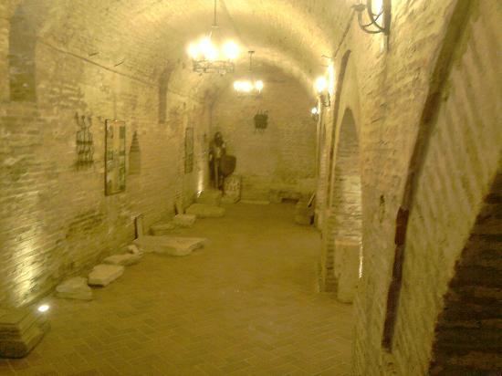
Tourism
The county recently became famous for its lăutari, especially the group Taraful Haiducilor.
The main tourist destinations are:
The city of Giurgiu
Here the tourists can visit:
Politics
The Giurgiu County Council, elected at the 2016 local government elections, is made up of 31 counselors, with the following party composition:
Administrative divisions
Giurgiu County has 1 municipality, 2 towns and 51 communes: