Country United States FIPS code 24-32175 Elevation 512 m Local time Monday 9:21 PM | Time zone Eastern (EST) (UTC-5) GNIS feature ID 2583630 Area 20 ha Population 127 (2010) | |
 | ||
Weather 2°C, Wind SE at 14 km/h, 51% Humidity | ||
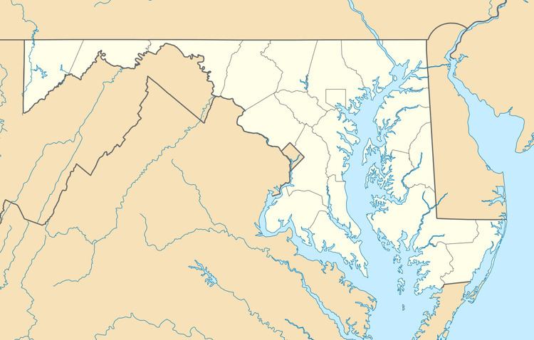
Gilmore is an unincorporated community and census-designated place (CDP) in Allegany County, Maryland, United States. As of the 2010 census it had a population of 127. It is part of the Cumberland, MD-WV Metropolitan Statistical Area.
Map of Gilmore, MD 21532, USA
Gilmore lies in the valley of Georges Creek, a tributary of the North Branch Potomac River, between Dans Mountain to the southeast and Big Savage Mountain to the northwest. Maryland Route 36 runs north-south through the community. Midland is directly to the north, and Lonaconing is 2 miles (3 km) to the southwest.
References
Gilmore, Maryland Wikipedia(Text) CC BY-SA
