Country Australia | State Queensland | |
 | ||
Similar Tinaroo Dam, Crater Lakes National, Millaa Millaa Falls, Mount Hypipamee National, Curtain Fig National Park | ||
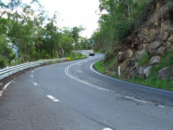
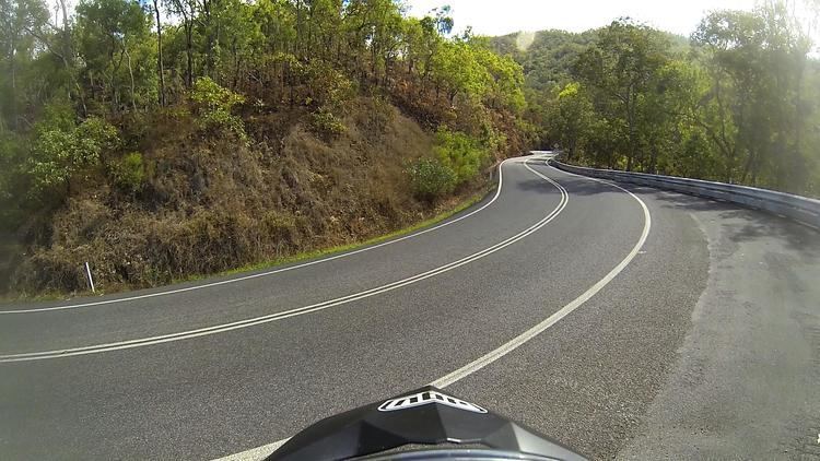
Gillies range on k8 gsxr 1000
The Gillies Range is a section of the chain of summits south of Cairns that separate the Far North Queensland coastal plain from the interior Atherton Tableland. At the foot of the range is the town of Gordonvale.
Contents
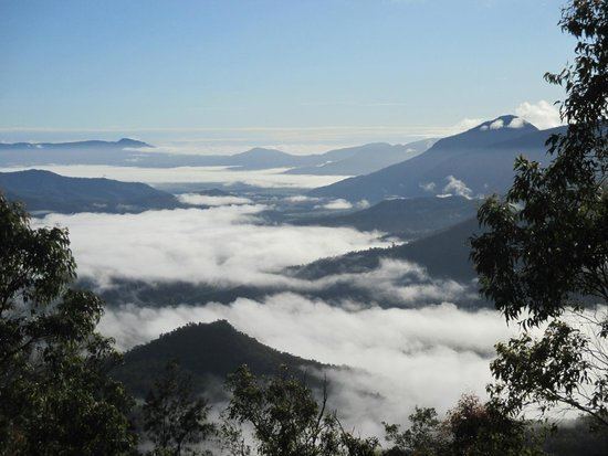
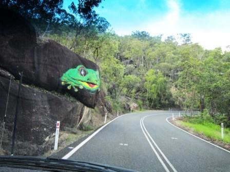
The Gillies Highway permits road access from the Goldsborough Valley near Gordonvale, to Atherton on the Atherton Tableland via the Gillies Range (Famous for its 263 corners, and 800 m elevation change in only 19 km of road). The Gillies Highway and range were named after William N Gillies, a former Premier of Queensland.
2012 gsxr 1000 gillies range
References
Gillies Range Wikipedia(Text) CC BY-SA
