
District Braunau am Inn Vehicle registration BR Elevation 466 m Population 1,265 (1 Apr 2009) Postal code 5133 | Time zone CET (UTC+1) Website www.gilgenberg.at Area 27 km² Local time Tuesday 12:50 AM Area code 07728 | |
 | ||
Weather 3°C, Wind SW at 5 km/h, 85% Humidity | ||
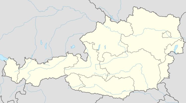
Gilgenberg am Weilhart is a municipality in the district of Braunau am Inn in the Austrian state of Upper Austria.
Contents
Map of Gilgenberg am Weilhart, Austria
Geography
Gilgenberg lies in the Innviertel. About 18 percent of the municipality is forest and 77 percent farmland.
References
Gilgenberg am Weilhart Wikipedia(Text) CC BY-SA