
LGA(s) Shire of Etheridge Gilberton Lyndhurst | State electorate(s) Mount Isa Federal division Division of Kennedy | |
 | ||
Location 191 km (119 mi) S of Georgetown
435 km (270 mi) W of Townsville
1,738 km (1,080 mi) NNW of Brisbane | ||
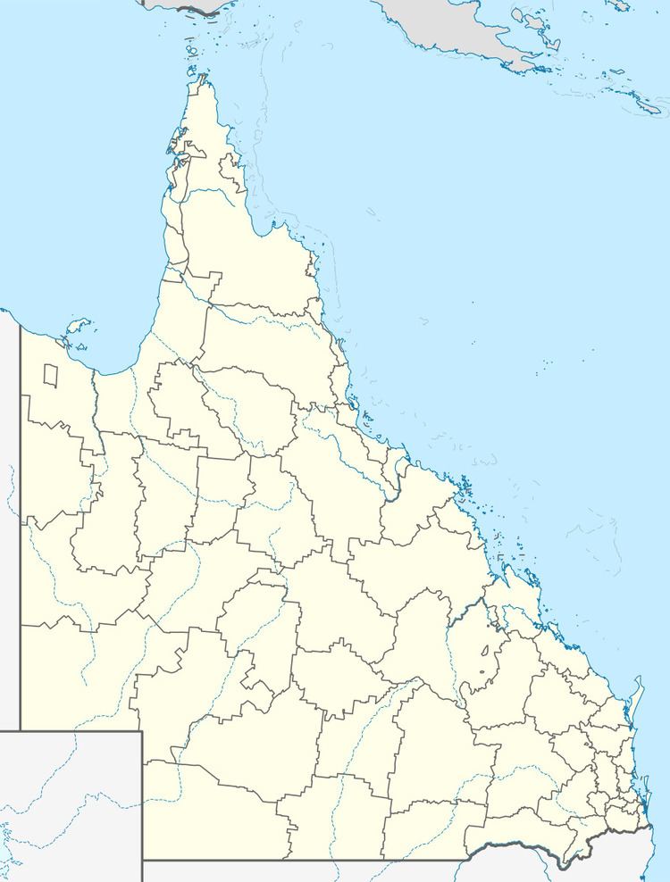
Gilberton is a locality in the Shire of Etheridge, Queensland, Australia.
Contents
Map of Gilberton QLD 4871, Australia
Geography
Gilberton is an isolated area with no development other than the remains of former mine sites. The Gilbert River flows from the south-east to the north-west of the locality and then travels northward towards its mouth at the Gulf of Carpentaria. The western part of the locality is within the Rungullla National Park.
Heritage listings
Gilberton has a number of heritage-listed sites, including:
References
Gilberton, Queensland (Etheridge) Wikipedia(Text) CC BY-SA