
Airport type Public 4/22 5,200 Elevation 240 m | Owner/Operator Town of Gila Bend Elevation AMSL 789 ft / 240 m 5,200 1,585 Phone +1 928-683-2733 | |
 | ||
Address 1500 AZ-85, Gila Bend, AZ 85337, USA | ||
C152 landing gila bend municipal airport rwy 22
Gila Bend Municipal Airport (FAA LID: E63), is two miles east of Gila Bend, in Maricopa County, Arizona.
Contents
Facilities
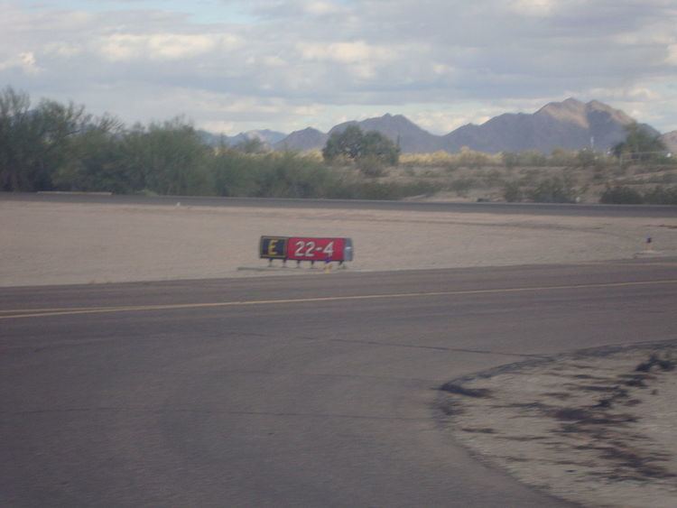
The airport covers 232 acres (94 ha) at an elevation of 789 feet (240 m). It has one runway: 4/22 is 5,200 by 75 feet (1,585 x 23 m) asphalt.
It has a VORTAC (116.60 MHz) and it is a Lighted Land Airport.
In the year ending April 19, 2008 the airport had 3,500 general aviation aircraft operations, average 10 per day. No aircraft were then based at the airport.
References
Gila Bend Municipal Airport Wikipedia(Text) CC BY-SA