
Local time Monday 9:15 PM | Development Region Eastern Post code 32907 | |
 | ||
Weather -8°C, Wind W at 11 km/h, 85% Humidity | ||
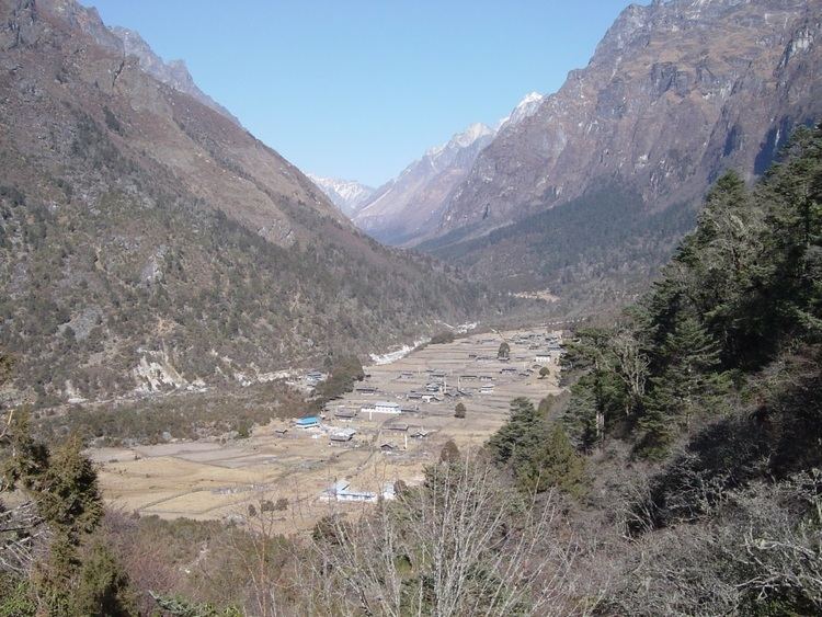
Gunsha is a village of Taplejung, Nepal at elevation of 3475m and is a major check point for Mt. Kangchenjunga. This village came into attention after the helicopter accident that killed 24 passengers including most prominent figures in conservation work.
Contents
Map of Ghunsa, Lelep 57500, Nepal
Inhabitants
The area is a Sherpa village who are involved in subsistence farming and yak grazing. The main crops are maize and potatoes.
Access
The village can be accessed from Taplejung in 3 days walk along the bank of Tamur River. The trail passes though numerous waterfalls and rivulets making it favorite among the trekkers all around the world.
Facilities
References
Ghunsa Wikipedia(Text) CC BY-SA