PIN 273151 Population 10,312 (2001) | Time zone IST (UTC+5:30) Vehicle registration 52 Local time Monday 8:50 PM | |
 | ||
Weather 19°C, Wind W at 5 km/h, 54% Humidity | ||
Ghughuli is a town and a nagar panchayat in Maharajganj district in the Indian state of Uttar Pradesh. It is near to Gorakhpur and very close to the Indo-Nepal border. East of Ghughali is the Baikunthi river. The bank of the Baikunthi is used for performing last rites and quarry is for river sand.
Contents
- Map of Ghughuli Uttar Pradesh 273151
- Demographics
- Economy
- Languages
- Important tourist destinations
- References
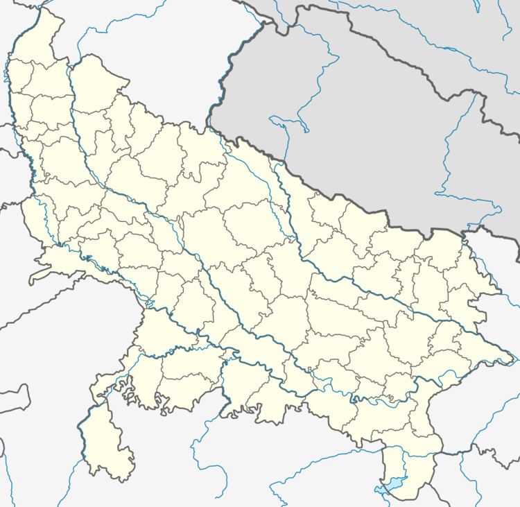
Map of Ghughuli, Uttar Pradesh 273151
Demographics
As of 2001 India census, Ghughli had a population of 10,312. Males constitute 51% of the population and females 49%. Ghughuli has an average literacy rate of 54%, lower than the national average of 59.5%: male literacy is 66%, and female literacy is 41%. In Ghughuli, 18% of the population is under 6 years of age.
Economy
Basic source of income for majority of citizens is agriculture. It had erstwhile UP State sugar Corporation Ltd which is no longer functional.
Languages
Basic language is Bhojpuri, Other languages include Hindi, English.
