
Elevation 1,140 m | Time zone EAT (UTC+3) Local time Monday 1:12 PM | |
 | ||
Weather 26°C, Wind S at 14 km/h, 71% Humidity Restaurants El Classico Bar, Echo Restaurant and Cyber Hotels Sir Jose Hotel, Hadji Accommo, Hollywood Hotel, Green Valley Hotel, KK Resort | ||
Kampala uganda view of makindye kansanga and ggaba from muyenga
Ggaba is a neighborhood within the city of Kampala in the Central Region of Uganda.
Contents
- Kampala uganda view of makindye kansanga and ggaba from muyenga
- Map of Ggaba Kampala Uganda
- Fish auction at ggaba landing site kampala uganda
- Location
- Overview
- Lake shore
- Ggaba Water Works
- Educational community
- Residential areas
- Medical institutions
- Kansanga Ggaba Road
- References
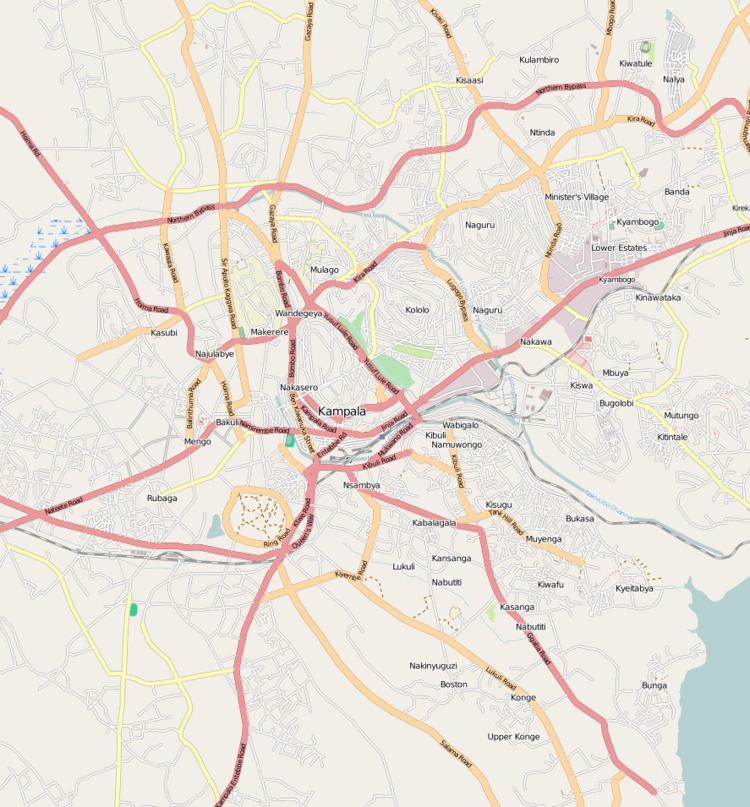
Map of Ggaba, Kampala, Uganda
Fish auction at ggaba landing site kampala uganda
Location
Ggaba is located on the northern shores of Lake Victoria, at the southern tip of the city of Kampala. It is bordered by Murchison Bay in Lake Victoria to the south and east, the village of Kawuku to the northeast, Bbunga to the north, Buziga to the northwest and Munyonyo to the southwest. It lies in Makindye Division, one of the five administrative burroughs of the city.
The road distance between Ggaba and Kampala's central business district is approximately 11 kilometres (7 mi). The coordinates of Ggaba are:0°15'23.0"N, 32°38'10.0"E (Latitude:0.256390; Longitude:32.636113).
Overview
Ggaba can be divided into the following major areas:
Lake shore
This is the southeastern part of Ggaba and includes: (1) A small beach (2) A landing dock for fishing boats (3) A fish market (4) A shopping center (5) A commercial resort with a private beach (6) Several bars and night spots.
Ggaba Water Works
This is located in the southwestern part of the area and contains: (1) The pumping stations (I, II and III) of National Water and Sewerage Corporation (NWSC). The intake pumps that supply water to Kampala, Kira Municipality and Mukono are located here. (2) The Main Water Treatment Plant of NWSC (3) Houses for the blue-collar workers of NWSC (4) Ggaba Police Station.
Educational community
This area is mainly located in the northern part of the neighborhood. The institutions include: (1) The main campus of Kampala University (2) Ggaba National Seminary (Catholic) (3) Ggaba Teahers Training Institute (4) St. Denis Ssebugwawo Secondary School (5) The Bunga campus of St. Augustine International University (6) Bbunga Primary School (7) Bbunga Islamic School.
Residential areas
Interspersed between the schools, universities and teaching institutions are the residential areas. The areas in the southern and western parts of Ggaba are generally of low income housing while those further north and east are upscale because they offer a better view of the lake.
Medical institutions
(1) Jacky Medical Centre, is located at the northern tip of Ggaba (2) Wentz Medical Centre, is located in the northeastern part of Ggaba, close to Kampala University. (3) Martyrs Family Clinic, is located in the southern part of Ggaba, close to the NWSC Staff Houses. (4) Ggaba Community Health Centre, is located in the southern part of Ggaba, inside the low income residential area close to the NWSC Water Treatment Plant.
Kansanga-Ggaba Road
In 2013 the Uganda Police informed the public that according to police's observation, about one in every ten vehicles travelling on that road at that time, was operated by a person who was under the influence of alcohol.