
Country Population 171,280 (2012) Area 78.74 km2 | Region Madrid Founded Around 1326 | |
Points of interest Coliseum Alfonso Perez, Cerro de los Angeles, Getafe Cathedral | ||
Getafe is a city in the south of the Madrid metropolitan area, Spain, and one of the most populated and industrialised cities in the area. It is home to one of the oldest Spanish military air bases and the Universidad Carlos III de Madrid. Within the city is the Cerro de los Angeles, or Hill of the Angels, a site considered the geographical center of the Iberian Peninsula. Getafe is located 13 km south of Madrids city centre, within a flat area of Spains Meseta Central in the Manzanares River basin.
Contents
Map of Getafe
Getafes proximity to Madrid fostered industrial development during the 20th and 21st centuries. The citys industrialisation led to an increase in population, reaching 170,115 in 2011. Due to its industrial and social networks, the majority of residents work or study within the city. The increase in population led to the construction of numerous access roads, an increase in available public services, and the creation of new neighborhoods at the end of the 20th century.
History

The history of Getafe can be split into three clearly defined eras. In the first era, which lasted from Prehistory until 1326, there existed distinct villages in the area, though Getafe itself did not exist as a municipality. The second era lasted from the 14th century until the 20th century, during which Getafe was established as a town and developed slowly. In the third era, which began in the 20th century and continues to the present day, Getafe changed in nature from a small agricultural town to a large industrial city, with a noticeable increase in commerce, industry, population and size.
Geography
Getafe is located in the southern zone of the autonomous community of Madrid, Spain, in southwestern Europe. It is physically located in the centre of the Iberian Peninsula, north of the Southern Submeseta (part of the Meseta Central), in the Manzanares River basin. Its elevation is 610 – 640 meters above sea level (2000–2100 feet). Its coordinates are 40° 18 N 3° 43 W. The municipal district is 78.74 km2, with a perimeter of 46.5 km. The easternmost part of the municipal district is located within the Parque Regional del Sureste, a protected forest region.
Due to its central location within the Iberian Peninsula, Getafe is no more than 725.6 km from any Spanish provincial capital in mainland Spain. The following are the distances to a few major cities, the oceans which surround the Spanish coasts, and the national borders of Portugal and France.
Economy
Getafes economy was historically agricultural. The first factories were built in the area at the beginning of the 20th century, but it wasnt until the second half of the century that industry gained prominence. By the 1960s, industry had become the primary economic focus.
Main sights
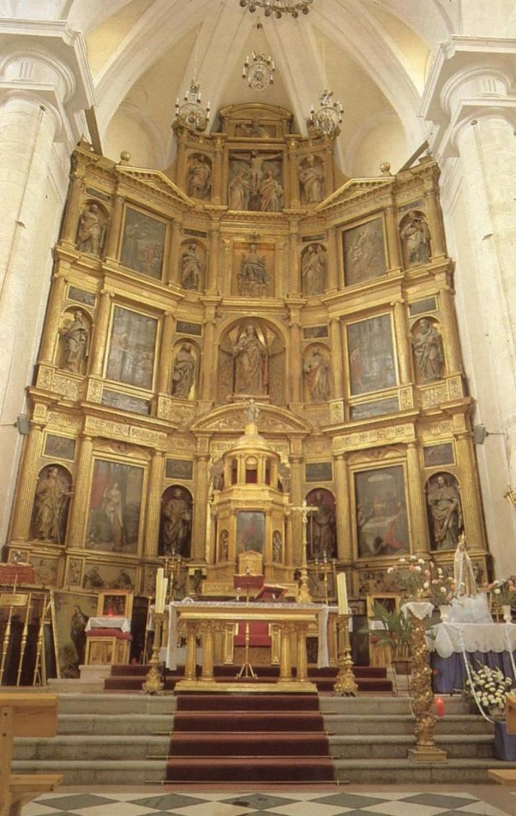
Getafe has a number of monuments and areas of interest pertaining to its history. The most famous and most visited part of Getafe is the Cerro de los Angeles, but there are other important places, such as the Catedral de Nuestra Senora de La Magdalena and the Hospitalillo de San Jose.
Culture
Culture in Getafe is represented by various institutions, such as the Universidad Carlos III de Madrid, whose academic rector and three faculties of the humanities and legal sciences are located in Getafe. This university has an award-winning chorus and orchestras which is renowned throughout all of Spain. The Conservatorio Profesional de Musica de Getafe (Professional Conservatory of Music of Getafe), which was established in 2000, has become the public conservatory for the entire Southern region of the autonomous community of Madrid. The Teatro Auditorio Federico Garcia Lorca (Theater Auditorium Federico Garcia Lorca), one of the largest and most important in Southern Madrid, is the setting for a multitude of plays and concerts. In addition to these establishments, Getafe boasts eight civic centers and a chain of public libraries spread across the different neighborhoods of Getafe. The Centro de Poesia Jose Hierro (Jose Hierro Center of Poetry), a place for the creation and study, is located alongside the library of Sector III. The legacy of the poet Jose Hierro can be found within this center, along with historical magazines, a photo library, and a video library. In 2005, began a project to construct the Museo de la Aviacion de Getafe (Getafe Aviation Museum), which will be designed by the prestigious architect Norman Foster.
Close to 40% of the inhabitants of Getafe come from distinct autonomous communities within Madrid. Many of these groups have created Casas Regionales (Regional Houses), places were people from similar regional backgrounds can meet for cultural activities. Some of the more prominent Casas Regionales are those of Extremadura, Castile-La Mancha, Murcia, Andalusia, and Castile and Leon. The Conservatorio Profesional de Musica de Getafe offers concerts of classical music in its 400-seats concert hall.
Geography
Getafe is home to a number of curiosities and special characteristics rare among other municipalities. Some of these include:
Traditionally, the geographical center of the Iberian Peninsula is located in the Cerro de los Angeles.
The Perales del Rio neighborhood boasts the worlds largest population of the common kestrel (Falco tinnunculus).
Getafes antipodal point is in the southeast of the North Island of New Zealand, 15 km southeast of the agricultural town of Dannevirke.