
Demonym(s) Germignaghesi Area 6.2 km² Local time Monday 4:56 AM | Elevation 204 m (669 ft) Time zone CET (UTC+1) Postal code 21010 Dialling code 0332 | |
 | ||
Frazioni Ronchetto, Ronchi, Fornace, Casa Moro, Premaggio and Mirandola Nuova Weather 5°C, Wind SW at 5 km/h, 73% Humidity | ||
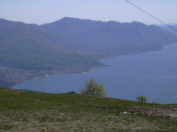
Germignaga is a comune (municipality) in the Province of Varese in the Italian region Lombardy, located about 70 km northwest of Milan and about 20 km northwest of Varese. As of 31 December 2004, it had a population of 3,721 and an area of 6.2 km².
Contents
Map of 21010 Germignaga, Province of Varese, Italy
The municipality of Germignaga contains the frazioni (subdivisions, mainly villages and hamlets) Ronchetto, Ronchi, Fornace, Casa Moro, Premaggio and Mirandola Nuova.
Germignaga borders the following municipalities: Brezzo di Bedero, Brissago-Valtravaglia, Cannero Riviera, Luino, Montegrino Valtravaglia.
Noted Germignaga people
References
Germignaga Wikipedia(Text) CC BY-SA