Population 0 (2011 census) Postcode(s) none allocated State electorate(s) FromeStuart | Established 1997 Time zone ACST (UTC+9:30) Founded 1997 | |
 | ||
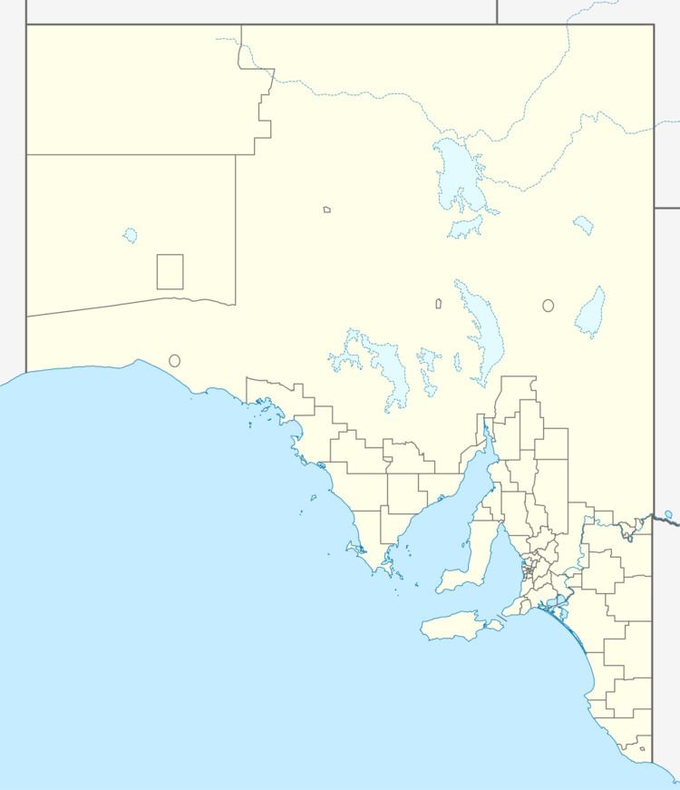
Germein Bay is a locality in the Australian state of South Australia about 205 kilometres (127 mi) north of the state capital of Adelaide and about 6 kilometres (3.7 mi) northeast of the city of Port Pirie.
Map of Germein Bay SA 5495, Australia
Its boundaries were created for the “long established name” for the portion within the Port Pirie Regional Council in March 1997 followed by the portion within the District Council of Mount Remarkable at a later time. Its name is derived from Germein Bay, the body of water to its immediate west.
The locality occupies land on the coastline in the south-eastern corner of Germein Bay. It is bounded to the east by the Augusta Highway and to the south in part by both the Port Pirie River and the Spencer Highway. It encloses the locality of Weeroona Island on all sides except for the west. The Adelaide-Port Augusta railway line passes through the locality on its east side.
The principal land use within the locality is conservation where built development will be minimal and will be limited to “low-intensity recreational uses” and where provided, will compliment the environment of the locality.
Germein Bay is located within the federal division of Grey, the state electoral districts of Frome and Stuart and the local government areas of the Port Pirie Regional Council and District Council of Mount Remarkable.
